Soapstone Prairie Natural Area
Soapstone Prairie Natural Area is a 28-square-mile (73 km2) park and conservation area in northeastern Larimer County, Colorado, United States. The City of Fort Collins purchased the land for Soapstone Prairie Natural Area in 2004, which was opened to the public in 2009.[1]
| Soapstone Prairie Natural Area | |
|---|---|
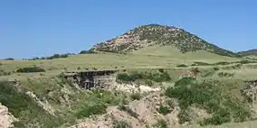 The arroyo surrounding the Lindenmeier archaeological site (Folsom culture) on Soapstone Prairie Natural Area near Fort Collins, Colorado. | |
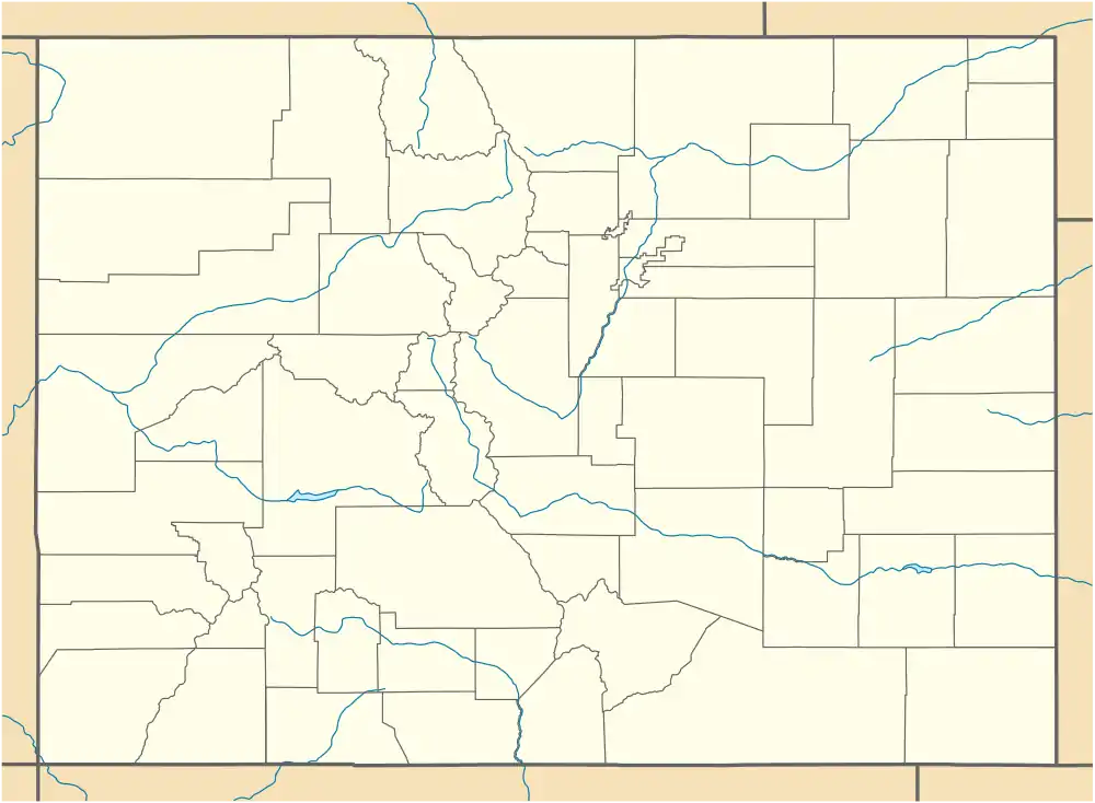 Map of Colorado | |
| Location | Larimer County, Colorado, United States |
| Nearest city | Fort Collins |
| Coordinates | 40°58′48″N 105°03′44″W |
| Area | 28 sq mi (73 km2) |
| Established | 2004 |
| Official website | |
Shortgrass prairie
The natural habitat of eastern Colorado was shortgrass prairie. Over the past 150 years much of the land was used for agriculture. Of the 40% of the remaining shortgrass prairie, much of it is "degraded" and fragmented due to neighboring cities, towns and farms.[2]
Lindenmeier Site
The Lindenmeier Site, named for the previous Lindenmeier Ranch, is a Folsom archaeological site on the Soapstone Prairie Natural Area. The site contains the most extensive Folsom culture campsite yet found with an uncorrected averaged radiocarbon date of 10,660±60 B.P., or 8,710 B.C. The site was declared a National Historic Landmark on January 20, 1961.[3]
See also
References
- "Soapstone Prairie Natural Area". City of Fort Collins. 1996–2011. Retrieved 2011-09-19.
- "Trails of Northern Colorado: Exploring Cultural and Natural Heritage". Fort Collins Museum & Discovery Science Center. 2010. Retrieved 2011-09-19.
- "Lindenmeier Site". National Historic Landmark summary listing. National Park Service. Archived from the original on 2008-01-04. Retrieved 2007-10-15.