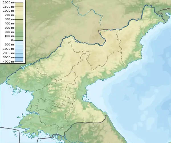
Songdo Point
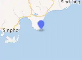
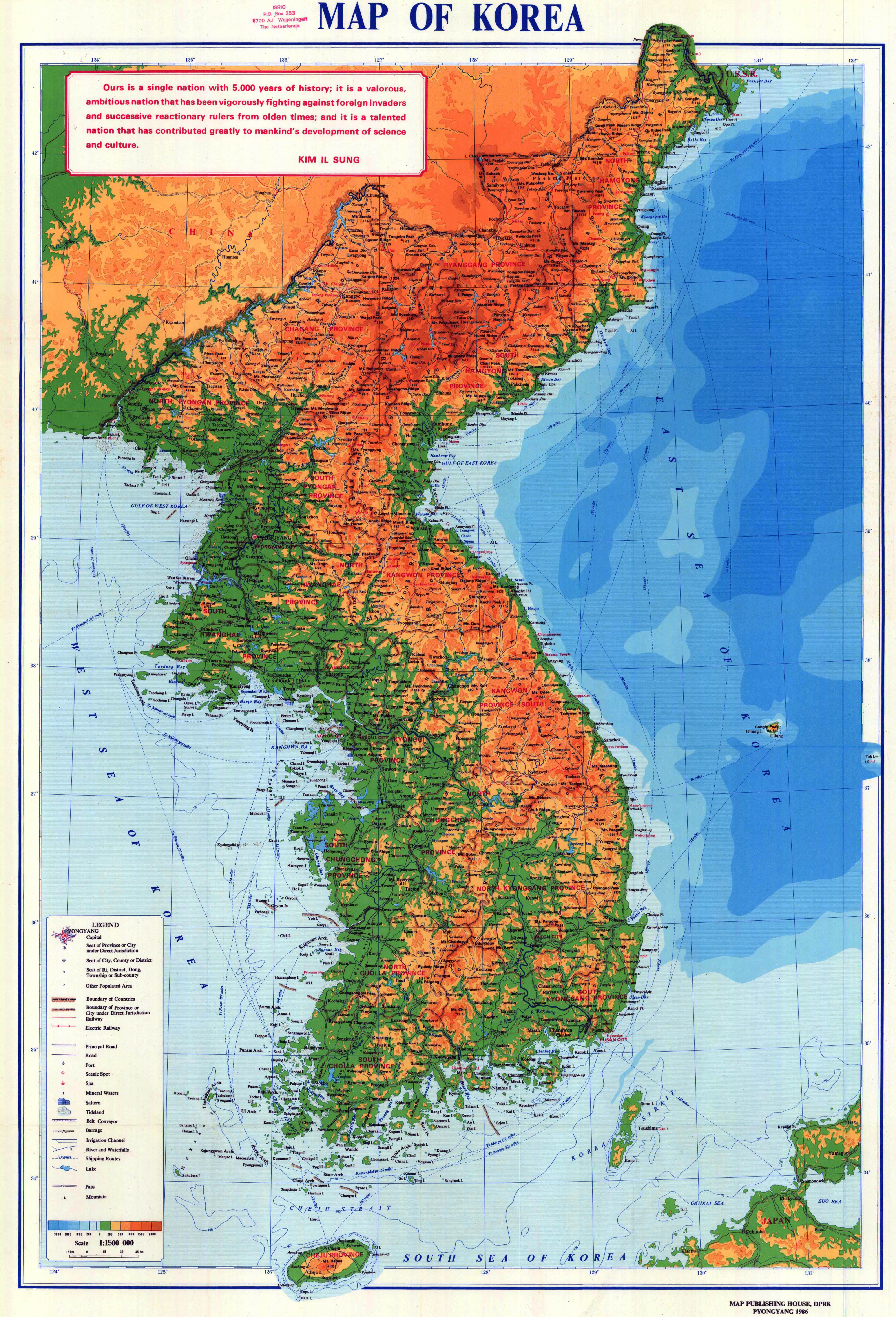
Songdo Point[3] (Korean: 송도갑, 松島岬, "Pine-Island Cape") is a North Korean headland in the middle of the country's eastern coast along the Sea of Japan. It is located in Sinpo County in South Hamgyong Province.
 Position of Songdo Point in North Korea | |
| |
| Location | Songdo Point South Hamgyong Province North Korea |
|---|---|
| Coordinates | 40°01′54″N 128°19′42″E[1] |
| Construction | concrete tower[2] |
| Focal height | 59 meters (194 ft)[2] |
| Range | 12 nautical miles (22 km; 14 mi)[1] |
| Characteristic | L Fl W 7s.[1] |
| Admiralty number | M4510.4[2] |
| NGA number | 16306[2] |
Names
Songdo Point is also known by its Korean name Songdo[4] or Song Do Gap.[1] During the Japanese occupation of Korea, it was known as Shōtō-kō.[5]
Geography
Songdo Point is a dark promontory joined to the coast about 13 miles (21 km) east of Sinpo[2] by a low white[4] sand bar.[2] It has two summits, which can appear to be small islands when observed from a distance.[4] It is the eastern entrance to the Yanghwa Man.[4]
Structures
There is a 59 m (194 ft) lighthouse on Songdo Point which is active but closed to the public.[2] The American National Geospatial-Intelligence Agency notes, however, that "the existence and operation of all navigational aids should be considered unreliable on the east coast of North Korea".[1]
References
Citations
- List of Lights, Pub. 112: Western Pacific and Indian Oceans Including the Persian Gulf and Red Sea (PDF). List of Lights. United States National Geospatial-Intelligence Agency. 2018. p. 212..
- Rowlett, Russ. "Lighthouses of North Korea". The Lighthouse Directory. University of North Carolina at Chapel Hill.
- DPRK (1986).
- Sailing Directions (Enroute), Pub. 157: Coasts of Korea and China (PDF). Sailing Directions. United States National Geospatial-Intelligence Agency. 2018. p. 74.
- OSS (1945).
Bibliography
- Korea: Administrative Divisions, Office of Strategic Services, 1945.
- Map of Korea, Pyongyang: Map Publishing House of the Democratic People's Republic of Korea, 1986.
External links
- "NK 52-11: Sōngjin", AMS Series L552, Washington: Army Map Service, 1954, a topographical map of the area around Musu Point.