Srem Gap
Srem Gap (Bulgarian: Сремска седловина, ‘Sremska Sedlovina’ \'srem-ska se-dlo-vi-'na\) is the flat saddle of elevation over 700 m extending 1.35 km on Trinity Peninsula, Antarctic Peninsula, which is situated between Russell West Glacier to the northwest and a tributary glacier to Russell East Glacier to the southeast. Linking Irakli Peak and Trakiya Heights to the southwest, and Mount Canicula to the northeast.
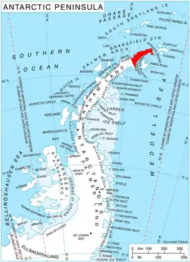
Location of Trinity Peninsula.
The feature is named after the settlement of Srem in southeastern Bulgaria.
Location
Srem Gap is located at 63°43′20″S 58°32′20″W. German-British mapping in 1996.
Maps
- Trinity Peninsula. Scale 1:250000 topographic map No. 5697. Institut für Angewandte Geodäsie and British Antarctic Survey, 1996.
- Antarctic Digital Database (ADD). Scale 1:250000 topographic map of Antarctica. Scientific Committee on Antarctic Research (SCAR). Since 1993, regularly updated.
References
- Bulgarian Antarctic Gazetteer. Antarctic Place-names Commission. (details in Bulgarian, basic data in English)
- Srem Gap. SCAR Composite Antarctic Gazetteer.
External links
- Srem Gap. Copernix satellite image
This article includes information from the Antarctic Place-names Commission of Bulgaria which is used with permission.
This article is issued from Wikipedia. The text is licensed under Creative Commons - Attribution - Sharealike. Additional terms may apply for the media files.