Svolhusgreini
Svolhusgreini is a mountain on the border of Agder and Vestfold og Telemark counties in southern Norway. The 1,420-metre (4,660 ft) tall mountain is the 14th highest mountain in Agder county. The mountain has a topographic prominence of 50 metres (160 ft). The mountain sits on the border of the municipalities of Bykle in Agder and Tokke in Vestfold og Telemark. It is located in the Setesdalsheiene mountains about half-way between the mountains of Brandsnutene to the north and Sæbyggjenuten to the south. The village of Berdalen lies about 10 kilometres (6.2 mi) to the southwest.
| Svolhusgreini | |
|---|---|
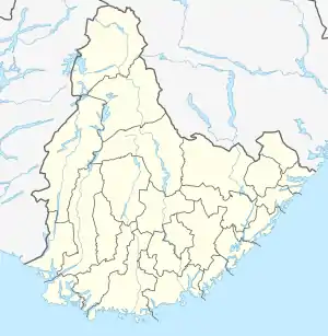 Svolhusgreini Location of the mountain 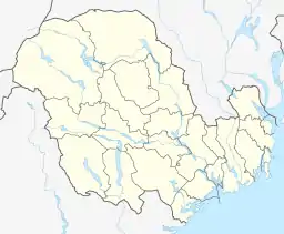 Svolhusgreini Svolhusgreini (Vestfold og Telemark)  Svolhusgreini Svolhusgreini (Norway) | |
| Highest point | |
| Elevation | 1,420 m (4,660 ft) |
| Prominence | 50 m (160 ft) |
| Coordinates | 59.4790°N 07.5942°E [1] |
| Geography | |
| Location | Agder and Vestfold og Telemark, Norway |
| Parent range | Setesdalsheiene |
See also
This article is issued from Wikipedia. The text is licensed under Creative Commons - Attribution - Sharealike. Additional terms may apply for the media files.