Tavira Island
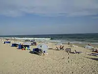
Tavira Island (Portuguese: Ilha de Tavira) lies south of the town of Tavira, Portugal, just a few hundred metres off the coast. It is 11 kilometres long and varies between 150 m to 1 km in width. The island has 11 km of the best beaches in the Algarve, including areas where naturism can be legally practised. It is part of the Natural reserve of Ria Formosa. It is also popular among tourists, people that like to swim and bird watchers.
| Native name: Ilha de Tavira | |
|---|---|
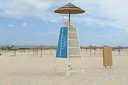 Beach on the island | |
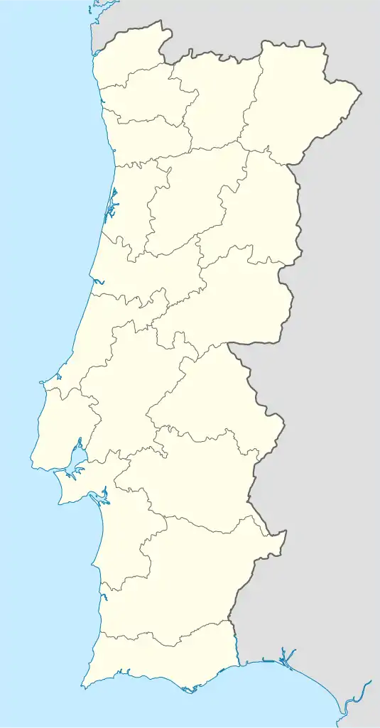 Tavira Island Location of Tavira Island in the Algarve | |
| Geography | |
| Location | Atlantic Ocean |
| Coordinates | 37.087°N 7.666°W |
| Administration | |
| Algarve | |
Access
.jpg.webp)
Access to the island is by ferry or water taxi from Quatro Águas, southeast of Tavira, and also by a small floating bridge in the Santa Luzia/Pedras d'El Rei area, followed by a small train trip (operating during the summer months) or by foot in a footpath parallel to the railway line (c. 2 km).
History
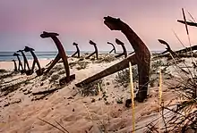
The island was home to a thriving tuna industry using the old Phoenician technique called Almadrava, between 1841 and 1967, on Barril beach around 80 families lived. During the 1960's the numbers of Tuna declined and the migration patterns changed and fishing for tuna was abandoned as well as the canning factories in the area. Sometime after 1966 the anchors used in the Almadrava technique were lined up on the island as a monument to the old tuna fishing industry. A Train was used to transport the large Tuna's to the mainland from the island which has been converted to transport tourists. The old fisherman's houses are now used as shops and restaurants.[1]
References
- "Tavira Island in Portugal and the Anchor Graveyard That is a Memorial for a Lost Way of Life". Retrieved 11 August 2020.
| Wikimedia Commons has media related to Ilha de Tavira. |