Taylors Valley, Virginia
Taylors Valley is an unincorporated community in Washington County, in the state of Virginia in the U.S.A. It is located to the southeast of Abingdon and is accessed via Highway 58 and via Taylor Valley Road from Tennessee just to the south.
Taylors Valley | |
|---|---|
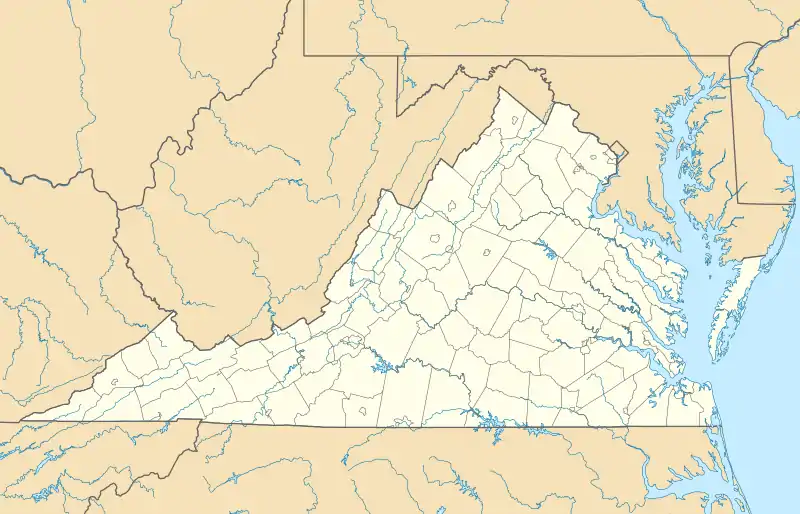
 Taylors Valley is located within the Mount Rogers National Recreation Area | |
 Taylors Valley | |
| Coordinates: 36°37′40″N 81°42′42″W | |
| Country | United States |
| State | Virginia |
| County | Washington |
| Time zone | UTC−5 (Eastern (EST)) |
| • Summer (DST) | UTC−4 (EDT) |
Geography
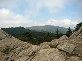
Taylors Valley is located in southwestern Virginia at an altitude of 722 metres (2369 feet), close to the border with Tennessee. It is located along a notable bike trail, the Virginia Creeper Trail, which makes a gradual climb into Taylors Valley.[1] The nearest town is Damascus, which is located to the west. The community, which is located in the Mount Rogers National Recreation Area, is bounded by Fork mountain to the west and Laurel and Chestnut mountains to the east. Whitetop Laurel Creek passes through the unincorporated community.
Economy
Taylors Valley is an old fashioned country village, without a gas station or major grocery store. The village relies on the town of Damascus for daily supplies. There is, however, the Creeper Trail Cafe to provide for hikers and bikers. There is a small store in the vicinity, called Widener's Grocery, which provides for locals. During the winter months this store is heated by a wood stove. The community is busier during the spring and summer and its links along the Appalachian Trail brings an influx of hikers and campers into Taylors Valley.
References
- Finley, Lori; Horsch, Thomas (1998). Mountain Biking the Appalachians: Northwest North Carolina/Southwest Virginia. Blair, John F. p. 172. ISBN 0-89587-205-6.
External links
Municipalities and communities of Washington County, Virginia, United States | ||
|---|---|---|
| Towns | 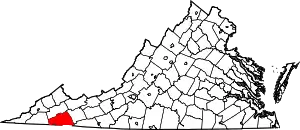 Map of Virginia highlighting Washington County | |
| CDPs | ||
| Unincorporated communities | ||
| Footnotes | ‡This populated place also has portions in an adjacent county or counties | |
| ||
Taylors