Tell er-Rameh
Tell er-Rameh or Tall el-Rama is a small mound in Jordan rising in the plain east of the River Jordan, about twelve miles from Jericho. It presently has a Muslim cemetery on the acropolis that prevents it from being excavated. It has been identified as the location of Livias,[1] but recent work has led to the theory that Tell er-Rameh was the commercial and residential centre of Livias, while the administrative centre was located at Tall el-Hammam.[2]
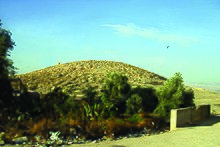 The small site of Tall er-Rama | |
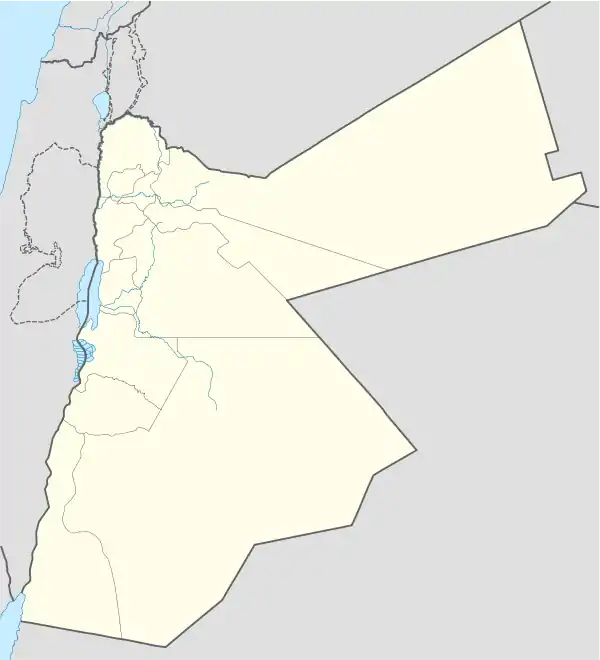 Shown within Jordan | |
| Alternative name | Tell/Tall el/er-Ramah/Rameh/Rama |
|---|---|
| Location | Jordan |
| Region | Amman Governorate |
| Coordinates | 31°49′32″N 35°38′40″E |
| History | |
| Cultures | Roman Age, Byzantine, Umayyad |
Etymology
According to Vailhé and Abel the modern name er-Rameh may have derived from the ancient names of Βηθαραμθα (Betharamtha), which is what Josephus indicates was the name for Livias.[3] Dvorjetski believes that the modern name er-Rameh is derived from Wadi er-Rameh.[4]
Identification
Nelson Glueck states that:
"the equation of Beth-haram, Beth-ramtha, Beit er-Ram, Beit Ramah, Tell er-Rameh with Livias (Julias), . . . is undoubtedly correct. It does not prove, however, that Tell er-Rameh is to be identified with the actual site of ancient Biblical Beth-haram. . . An examination of the pottery of Tell er-Rameh proves that this identification cannot possibly be correct" [5][2]
Graves and Stripling add that, while Tell er-Rameh was the commercial and residential centre of Livias, the administrative centre was situated at nearby Tall el-Hammam.[2] Tell er-Rameh had no natural water source, and some have argued that it received its water from the hot springs at Tall el-Hammam.[6]
Dvorjetski identified Tell er-Rameh with Livias based on the presence of "pottery or mosaic stone cubes from the Byzantine and early Islamic eras."[7]
References
- Jastrow, M. and Buhl, F. "Beth–Aram" The Jewish Encyclopedia (New York: Funk & Wagnalls, 1901) 119; S. Vailhé, "Livias." in M. Anello (tran), The Catholic Encyclopedia. (New York: Robert Appleton Company, 1910), 9:315; W. F. Albright, The Jordan valley in the Bronze Age. (Annual of the American Schools of Oriental Research 1924), 6:49; Nelson Glueck, "Some ancient towns in the plains of Moab." Bulletin of the American Schools of Oriental Research 91 (1943), 11; H. Donner and H. Cüppers, Die Restauration und Konservierung der Mosaikkarte von Madeba. Zeitschrift des Deutschen Palästina-Vereins 83 (1967), 22; C. F. Keil, and F. Delitzsch, Joshua, Judges, Ruth, I & II Samuel Trans. J. Martin (Grand Rapids: Eerdmans, 1976), 143; Kay Prag, "A walk in the Wadi Hesban." Palestine Exploration Quarterly (1991), 60-61; Herbert Donner, The Mosaic Map of Madaba. An Introductory Guide, Palaestina Antiqua 7 (Kampen: Kok Pharos, 1992), 39; E. Dvorjetski, Leisure, Pleasure, and Healing: Spa Culture and Medicine in Ancient Eastern Mediterranean. (Leiden: Brill (2007), 202
- Graves, David E.; Stripling, Scott (Autumn 2011). "Re-Examination of the Location for the Ancient City of Livias". Levant. 43 (2): 178–200. Retrieved 17 December 2019.
- Josephus A.J. 18.27; 14.1.4
- E. Dvorjetski, Leisure, Pleasure, and Healing: Spa Culture and Medicine in Ancient Eastern Mediterranean (Leiden: Brill, 2007), 208
- Glueck, Nelson (1951). Explorations in Eastern Palestine IV. Part 1. New Haven: American Schools of Oriental Research. p. 391.
- Félix-Marie Abel (1938). Géographie de la Palestine. I–II. Paris: Gabalda. p. 1:459.
- E. Dvorjetski, Leisure, Pleasure, and Healing: Spa Culture and Medicine in Ancient Eastern Mediterranean (Leiden: Brill, 2007), 202