Tenmile Creek (West Fork River tributary)
Tenmile Creek is a tributary of the West Fork River, 26.4 miles (42.5 km) long,[3] in north-central West Virginia in the United States. Via the West Fork, Monongahela and Ohio Rivers, it is part of the watershed of the Mississippi River, draining an area of 126 square miles (330 km2)[4] on the unglaciated portion of the Allegheny Plateau.
| Tenmile Creek | |
|---|---|
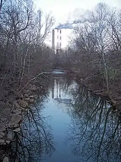 Tenmile Creek in Lumberport in 2006 | |
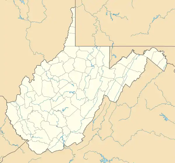 Location of the mouth of Tenmile Creek in Lumberport, West Virginia | |
| Location | |
| Country | United States |
| State | West Virginia |
| County | Harrison County |
| Physical characteristics | |
| Source | |
| • location | southwestern Harrison County |
| • coordinates | 39°12′17″N 80°31′36″W[1] |
| • elevation | 1,289 ft (393 m)[2] |
| Mouth | West Fork River |
• location | Lumberport |
• coordinates | 39°22′39″N 80°20′21″W[1] |
• elevation | 892 ft (272 m)[1] |
| Length | 26.4 mi (42.5 km) |
| Basin size | 126 sq mi (330 km2) |
Tenmile Creek and its watershed are located entirely in western and northern Harrison County. It rises in the southwestern part of the county, approximately 8 miles (13 km) west of West Milford, and flows northwardly and northeastwardly to the town of Lumberport, where it joins the West Fork River from the southwest.[5] Its tributaries include Salem Fork,[6] which drains the city of Salem; and Little Tenmile Creek,[7] 13 miles (21 km) long,[3] which flows southeastwardly through northwestern Harrison County and the small communities of Wallace, Brown, Dola, and Rosebud.[5]
According to the West Virginia Department of Environmental Protection, approximately 81% of Tenmile Creek's watershed is forested, mostly deciduous. Approximately 13% is used for pasture and agriculture, and less than 1% is urban.[4]
According to the Geographic Names Information System, Tenmile Creek has also been known historically as Coal Bank Creek.[1]
References
- Geographic Names Information System. "Geographic Names Information System entry for Tenmile Creek (Feature ID #1547966)". Retrieved 2007-02-19.
- Google Earth elevation for GNIS source coordinates. Retrieved on 2007-02-12.
- United States Environmental Protection Agency. "Watershed Assessment, Tracking & Environmental Results: Assessment Summary for Reporting Year 2008, West Virginia, West Fork Watershed". Archived from the original on 2011-10-14. Retrieved 2011-10-13.
- West Virginia Department of Environmental Protection. "Watershed Atlas Project". pp. West Fork River watershed (cited figures are for Tenmile Creek and Salem Fork). Archived from the original on 2005-04-04. Retrieved 2007-02-26.
- DeLorme (1997). West Virginia Atlas & Gazetteer. Yarmouth, Maine: DeLorme. ISBN 0-89933-246-3.
- Geographic Names Information System. "Geographic Names Information System entry for Salem Fork (Feature ID #1546293)". Retrieved 2007-02-19.
- Geographic Names Information System. "Geographic Names Information System entry for Little Tenmile Creek (Feature ID #1542237)". Retrieved 2007-02-19.