Teufelkap
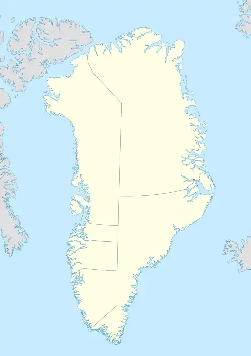
Teufelkap (German: Teufels-Kap), meaning "Devil Cape", is a headland in King Frederick VIII Land, Northeast Greenland. Administratively it is part of the Northeast Greenland National Park.[1]
| Teufelkap | |
|---|---|
| Teufels-Kap Devil Cape | |
 | |
| Location | Djævleøen |
| Coordinates | 76°22′55″N 20°10′49″W |
| Offshore water bodies | Dove Bay Greenland Sea |
| Elevation | 732 m (2,402 ft) |
| Area | Arctic |
Its cliffs are a home for seabird colonies.[2]
History
Teufelkap was named in 1870 by Carl Koldewey (1837–1908).[3] The steep headland with a dark red hue looked frightening in the fog when it was first seen by members of the Second German North Polar Expedition in March 1870. Later visitors of the area confirmed that the name chosen by the German explorers was suitable to refer to the sinister-looking headland.[4]
Geography
Teufelkap is located in Dove Bay at the eastern end of Djævleøen. It is a conspicuous landmark. The entrance of the A. Stelling Sound lies to the SW around the cape.[5]
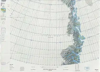 Map of Northeastern Greenland. |
References
- Den grønlandske Lods - Sejladsanvisninger Østgrønland
- Amdrup, G. 1913: Report on the Danmark Expedition to the northeast coast of Greenland 1906–08. Meddelelser om Grønland 41(1), 270 pp
- Karl Christian Koldewey, Die Zweite Deutsche Nordpolarfahrt: Unter Führung des Kapitän Koldewey. 1869 - 1870
- "Catalogue of place names in northern East Greenland". Geological Survey of Denmark. Retrieved 9 July 2019.
- "Teufelkap". Mapcarta. Retrieved 11 July 2019.