Thomson Head
Thomson Head (67°35′S 66°46′W) is a steep, rocky headland rising to 915 m at the east side of Bourgeois Fjord, between Perutz and Bader Glaciers, forming the north extremity of German Peninsula on Fallières Coast on the west side of Graham Land, Antarctica. First surveyed in 1936 by the British Graham Land Expedition (BGLE) under Rymill. Resurveyed in 1948-49 by the Falkland Islands Dependencies Survey (FIDS) and named for William H. Thomson, FIDS air pilot at Stonington Island in 1947.
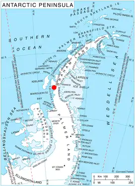
Location of German Peninsula in Graham Land, Antarctic Peninsula.
Map
- British Antarctic Territory. Scale 1:200000 topographic map. DOS 610 Series, Sheet W 67 66. Directorate of Overseas Surveys, Tolworth, UK, 1978.
References
![]() This article incorporates public domain material from the United States Geological Survey document: "Thomson Head". (content from the Geographic Names Information System)
This article incorporates public domain material from the United States Geological Survey document: "Thomson Head". (content from the Geographic Names Information System) ![]()
This article is issued from Wikipedia. The text is licensed under Creative Commons - Attribution - Sharealike. Additional terms may apply for the media files.