Tnte. Gral. Gerardo Pérez Pinedo Airport
Lieutenant General Gerardo Pérez Pinedo Airport (IATA: AYX, ICAO: SPAY) is a small regional airport serving the town of Atalaya, in the Ucayali Region of Peru. The town is at the confluence of the Tambo and Ucayali Rivers.
Lieutenant General Gerardo Pérez Pinedo Airport Aeropuerto Tnte. Gral. Gerardo Pérez Pinedo | |||||||||||
|---|---|---|---|---|---|---|---|---|---|---|---|
| Summary | |||||||||||
| Airport type | Public | ||||||||||
| Operator | CORPAC S.A. | ||||||||||
| Serves | Atalaya, Ucayali Region, Peru | ||||||||||
| Elevation AMSL | 751 ft / 229 m | ||||||||||
| Coordinates | 10°43′45″S 73°46′00″W | ||||||||||
| Map | |||||||||||
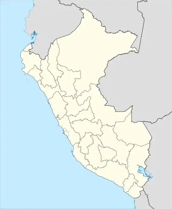 SPAY Location of the airport in Peru | |||||||||||
| Runways | |||||||||||
| |||||||||||
The airport name in Spanish is Aeropuerto Teniente General Gerardo Pérez Pinedo, with Teniente General often abbreviated as Tnte. Gral. The airport is currently served by one scheduled airline, and it receives also private and charter flights.
The Atalaya non-directional beacon (Ident: LAY) is located 0.5 kilometres (0.31 mi) northwest of the runway.[4][5]
Airlines and destinations
| Airlines | Destinations |
|---|---|
| ATSA | Lima |
References
- Airport information for SPAY at World Aero Data. Data current as of October 2006.
- Airport information for SPAY at Great Circle Mapper.
- Google Maps - Atalaya
- LAY NDB
- SkyVector LAY
External links
- Atalaya Airport
- SkyVector Aeronautical Charts
- OpenStreetMap - Atalaya
- Accident history for Atalaya Airport at Aviation Safety Network
This article is issued from Wikipedia. The text is licensed under Creative Commons - Attribution - Sharealike. Additional terms may apply for the media files.