Vancouver Land Bridge
The Vancouver Land Bridge connects Vancouver Waterfront Park to the Vancouver, Washington portion of the Fort Vancouver National Historic Site, in the United States.[1][2] The bridge, which spans Highway 14, has been described as "the most visible part of the larger" Confluence Project.[3]
Vancouver Land Bridge | |
|---|---|
-2.jpg.webp) Part of the bridge in 2013 | |
| Coordinates | 45°37′15″N 122°40′00″W |
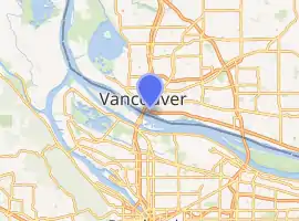
| Locale | Vancouver, Washington, U.S. |
| Location | |
| |
.jpg.webp)
One of the bridge's observation points, overlooking Fort Vancouver
References
This article is issued from Wikipedia. The text is licensed under Creative Commons - Attribution - Sharealike. Additional terms may apply for the media files.