Vyala (river)
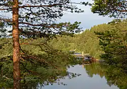
The Vyala (Russian: Вяла) is a river in the southwestern part on the Kola Peninsula, Murmansk Oblast, Russia. The Vyala is a right tributary to the Umba. It is 37 kilometres (23 mi) long, and has a drainage basin of 852 square kilometres (329 sq mi).[1] It flows westwards from Lake Vyalozero through a sparsely populated landscape of forests and bogs. It joins the Umba 16 km north of the Umba's outlet into the White Sea.
| Vyala | |
|---|---|
 | |
| Location | |
| Country | Russia |
| Physical characteristics | |
| Mouth | Umba |
• coordinates | 66.7686°N 34.3572°E |
| Length | 37 km (23 mi) |
| Basin size | 852 km2 (329 sq mi) |
| Basin features | |
| Progression | Umba→ White Sea |
| Tributaries | |
| • right | Vilovataya |
References
- Река Вяла in the State Water Register of Russia (Russian)
- Topographical map 1:200,000 (Map) (1992 ed.). Russian Federation, Murmansk Oblast. § 22.
This article is issued from Wikipedia. The text is licensed under Creative Commons - Attribution - Sharealike. Additional terms may apply for the media files.