Waitoriki
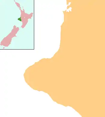
Waitoriki is a locality in Taranaki, New Zealand. Inglewood is about 4.5 km to the southwest.[1]
Waitoriki | |
|---|---|
 Waitoriki | |
| Coordinates: 39°8′2″S 174°14′36″E | |
| Country | New Zealand |
| Region | Taranaki |
| District | New Plymouth District |
Education
Waitoriki School is a coeducational full primary (years 1-8) school with a roll of 32.[2] The school began as the Wortley Road School in 1880.[3]
Notes
- Roger Smith, GeographX (2005). The Geographic Atlas of New Zealand. Robbie Burton. pp. map 85. ISBN 1-877333-20-4.
- "Te Kete Ipurangi - Waitoriki School". Ministry of Education.
- "Take a look back in time and read about the early days of Waitoriki School". Waitoriki School.
Further reading
Schools
- "Centennial 1880-1980: Waitoriki, Lincoln & Wortley Road Schools". Waitoriki, [N.Z.]: Jubilee Committee, [1980]. 1980. Cite journal requires
|journal=(help)
- "Centennial 1880-1980: Waitoriki, Lincoln & Wortley Road Schools". Waitoriki, [N.Z.]: Jubilee Committee, [1980]. 1980. Cite journal requires
- "80th jubilee: Waitoriki, Lincoln and Wortley Road schools, 1880-1960". Waitoriki, [N.Z.] ; New Plymouth, [N.Z.]: Jubilee Committee, [1960] ; Taranaki Daily News. 1960. Cite journal requires
|journal=(help)
- "80th jubilee: Waitoriki, Lincoln and Wortley Road schools, 1880-1960". Waitoriki, [N.Z.] ; New Plymouth, [N.Z.]: Jubilee Committee, [1960] ; Taranaki Daily News. 1960. Cite journal requires
- "Waitoriki School 125 years, 1880-2005". Waitoriki, [N.Z.]: Waitoriki School Jubilee Committee. 2005. Cite journal requires
|journal=(help)
- "Waitoriki School 125 years, 1880-2005". Waitoriki, [N.Z.]: Waitoriki School Jubilee Committee. 2005. Cite journal requires
This article is issued from Wikipedia. The text is licensed under Creative Commons - Attribution - Sharealike. Additional terms may apply for the media files.