Wang Yang District
Wang Yang (Thai: วังยาง, pronounced [wāŋ jāːŋ]) is a district (amphoe) of Nakhon Phanom Province, northeastern Thailand.
Wang Yang
วังยาง | |
|---|---|
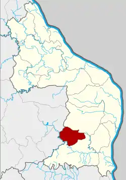 District location in Nakhon Phanom Province | |
| Coordinates: 17°3′22″N 104°27′19″E | |
| Country | Thailand |
| Province | Nakhon Phanom |
| Seat | Wang Yang |
| Subdistrict | 4 |
| Muban | 27 |
| Area | |
| • Total | 137.9 km2 (53.2 sq mi) |
| Population (2013) | |
| • Total | 15,187 |
| • Density | 104.7/km2 (271/sq mi) |
| Time zone | UTC+7 (ICT) |
| Postal code | 48130 |
| Geocode | 4812 |
Geography
Neighboring districts are (from the north clockwise): Pla Pak and Na Kae of Nakhon Phanom Province; Khok Si Suphan and Phon Na Kaeo of Sakon Nakhon Province.
History
The minor district (king amphoe) Wang Yang was established on 1 July 1997, when four tambons were split off from Na Kae District.[1]
On 15 May 2007, all 81 minor districts were upgraded to full districts.[2] With publication in the Royal Gazette on 24 August the upgrade became official.[3]
Administration
Central administration
Wang Yang is divided into four sub-districts (tambons), which are further subdivided into 27 administrative villages (mubans).
| No. | Name | Thai | Villages | Pop.[4] |
|---|---|---|---|---|
| 1. | Wang Yang | วังยาง | 9 | 4,846 |
| 2. | Khok Si | โคกสี | 7 | 3,244 |
| 3. | Yot Chat | ยอดชาด | 7 | 5,024 |
| 4. | Nong Pho | หนองโพธิ์ | 4 | 2,073 |
Local administration
There are three sub-district administrative organizations (SAO) in the district:
- Wang Yang (Thai: องค์การบริหารส่วนตำบลวังยาง) consisting of sub-districts Wang Yang and Nong Pho.
- Khok Si (Thai: องค์การบริหารส่วนตำบลโคกสี) consisting of sub-district Khok Si.
- Yot Chat (Thai: องค์การบริหารส่วนตำบลยอดชาด) consisting of sub-district Yot Chat.
References
- ประกาศกระทรวงมหาดไทย เรื่อง แบ่งเขตท้องที่อำเภอนาแก จังหวัดนครพนม ตั้งเป็นกิ่งอำเภอวังยาง (PDF). Royal Gazette (in Thai). 116 (Special 51 ง): 8. 25 June 1997.
- แถลงผลการประชุม ครม. ประจำวันที่ 15 พ.ค. 2550 (in Thai). Manager Online.
- พระราชกฤษฎีกาตั้งอำเภอฆ้องชัย...และอำเภอเหล่าเสือโก้ก พ.ศ. ๒๕๕๐ (PDF). Royal Gazette (in Thai). 124 (46 ก): 14–21. 24 August 2007.
- "Population statistics 2013" (in Thai). Department of Provincial Administration. Retrieved 15 November 2014.