Whiting River
The Whiting River is a stream, about 50 miles (80 km) long, in the U.S. state of Alaska and the Canadian province of British Columbia.[2] It enters the waters of Stephens Passage at the Borough of Juneau in the Alaska Panhandle between the mouths of the Taku and Stikine Rivers. The main tributary of the Whiting is the South Whiting. The river's basin is at the northern end of the Stikine Icecap The river crosses the international boundary at 58°11′00″N 133°13′00″W.[3] Its origin is in the Chechidla Range,[4] and its terminus is at Gilbert Bay, which empties into Stephens Passage. In 1888, Lieutenant Commander C. M. Thomas of the U.S. Navy (USN) named the river for assistant surgeon Robert Whiting, USN, a member of his surveying party.[1]
| Whiting River | |
|---|---|
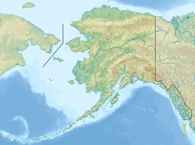 Location of the mouth of the Whiting River in Alaska | |
| Location | |
| Country | Canada, United States |
| Province or state | British Columbia, Alaska |
| Physical characteristics | |
| Source | Coast Mountains |
| • location | British Columbia |
| Mouth | Gilbert Bay, Port Snettisham |
• location | 33 miles (53 km) southeast of Juneau, Juneau Borough, Tongass National Forest, Alaska |
• coordinates | 57°57′26″N 133°52′54″W[1] |
• elevation | 0 ft (0 m)[1] |
| Length | 50 mi (80 km)[2] |
References
- "Whiting River". Geographic Names Information System. United States Geological Survey. January 1, 2000. Retrieved January 6, 2014.
- Orth, Donald J.; United States Geological Survey (1971) [1967]. Dictionary of Alaska Place Names: Geological Survey Professional Paper 567 (PDF). United States Government Printing Office. p. 1045. Retrieved January 6, 2014.
- "Whiting River". BC Geographical Names.
- "Chechidla Range". BC Geographical Names.