Xiyang Yi Ethnic Township
Xiyang Yi Ethnic Township (Yi script:?, Chinese: 夕阳彝族乡) is an ethnic township in Jinning County, Yunnan.[1]
Xiyang Yi Ethnic Township
夕阳彝族乡 | |
|---|---|
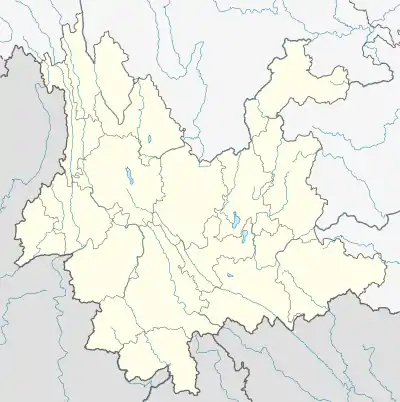 Xiyang Yi Ethnic Township Location in Yunnan | |
| Coordinates: 24.460811°N 102.289155°E | |
| Country | People's Republic of China |
| Province | Yunnan |
| Prefecture-level city | Kunming |
| County | Jinning (become a district from 2016) |
| Time zone | UTC+8 (China Standard) |
Demographics and Languages
Among its 10,155 residents, 78% (7,921) are ethnic minorities in China, chiefly Yi people (Lolo) and Hani people, as of 2006.[2] Nuosu language, being one of the Lolo-Burmese languages, is most spoken there.[3]
Geography
Xiyang is 55 kilometres (34 mi) away from the Jinning County seat, deep in the mountains, with 60.86% forest cover. Its highest point Leida Hill (雷打山) stands at 2,563 metres (8,409 ft) tall, while its lowest point Xiaoshiban river (小石板河) is at 1,340 metres (4,400 ft). It has an average annual temperature of 16.8C, annual precipitation of 891.8mm and annual sunshine hours of 2278.5.[4]
References
- "2011 Zoning codes and urban-rural division codes for statistics: Xiyang Yi Ethnic Township" (in Chinese). National Bureau of Statistics of the People's Republic of China. 2011.
- "晋宁区把脉夕阳彝族乡少数民族刺绣现状". 昆明信息港. 2018-12-29.
- "中国彝族彝语六大方言区的大致界限". 四川省彝文学校. 2013-09-11. Archived from the original on 2016-09-11.
- "因地制宜 晋宁区夕阳彝族乡产业发展走出"多样化"的路子". 昆明信息港. 2020-07-30.
This article is issued from Wikipedia. The text is licensed under Creative Commons - Attribution - Sharealike. Additional terms may apply for the media files.