Yagoua
Yagoua is a town and commune in the Far North Province of Cameroon. It is the capital of the department of Mayo-Danay.
Yagoua | |
|---|---|
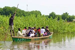 Paddler at Yagoua | |
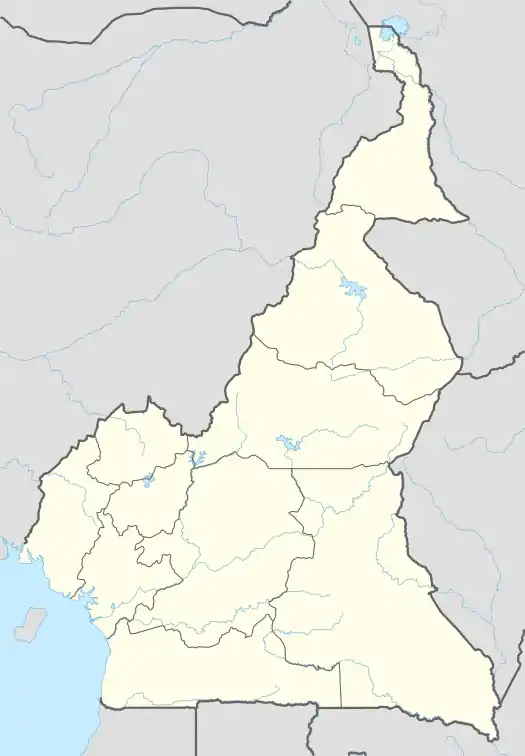 Yagoua Location in Cameroon | |
| Coordinates: 10°20′34″N 15°14′26″E | |
| Country | |
| Province | Far North (Extrême-Nord) |
| Department | Mayo-Danay |
| Elevation | 356 m (1,168 ft) |
| Population (2012) | |
| • Total | 41,957 |
Administrative structure
Localities are::
- Bagarao
- Dana
- Danay Diguizi
- Déhé I
- Déhé II
- Djokoydi
- Domo
- Hounou
- Kalak
- Kirsidi
- Masgaya
- Miogoye I
- Miogoye II
- Mouri I
- Mouri II
- Ngaya
- Tcherféké
- Toukou
- Vormounoun
- Vounaloum
- Yrdeng
- Zébé I
- Zébé II
- Zébé Marao
- Zoulla
Climate
Yagoua has a hot semi-arid climate (BSh) with little to no rain from October to April and moderate to heavy rainfall from May to September.
| Climate data for Yagoua | |||||||||||||
|---|---|---|---|---|---|---|---|---|---|---|---|---|---|
| Month | Jan | Feb | Mar | Apr | May | Jun | Jul | Aug | Sep | Oct | Nov | Dec | Year |
| Average high °C (°F) | 34.1 (93.4) |
36.3 (97.3) |
39.1 (102.4) |
39.2 (102.6) |
36.7 (98.1) |
33.8 (92.8) |
31.3 (88.3) |
30.2 (86.4) |
31.5 (88.7) |
34.5 (94.1) |
36.5 (97.7) |
34.9 (94.8) |
34.8 (94.7) |
| Daily mean °C (°F) | 25.8 (78.4) |
27.7 (81.9) |
31.0 (87.8) |
32.0 (89.6) |
30.3 (86.5) |
28.3 (82.9) |
26.6 (79.9) |
25.9 (78.6) |
26.5 (79.7) |
28.0 (82.4) |
28.0 (82.4) |
26.2 (79.2) |
28.0 (82.4) |
| Average low °C (°F) | 17.5 (63.5) |
19.2 (66.6) |
23.0 (73.4) |
24.9 (76.8) |
23.9 (75.0) |
22.8 (73.0) |
21.9 (71.4) |
21.6 (70.9) |
21.5 (70.7) |
21.5 (70.7) |
19.6 (67.3) |
17.5 (63.5) |
21.2 (70.2) |
| Average rainfall mm (inches) | 0 (0) |
0 (0) |
1 (0.0) |
17 (0.7) |
63 (2.5) |
109 (4.3) |
187 (7.4) |
235 (9.3) |
133 (5.2) |
24 (0.9) |
1 (0.0) |
0 (0) |
770 (30.3) |
| Source: Climate-Data.org[1] | |||||||||||||
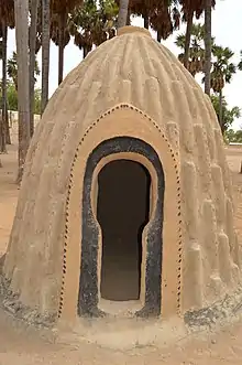
Gallery
- Village with shell huts
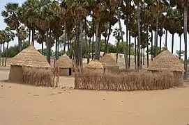
- Life at Yagoua
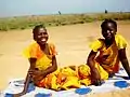 Young girl at Yagoua
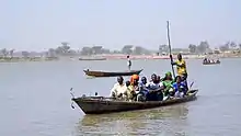 Canoe transport
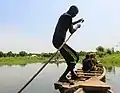 Paddling profession
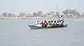 Canoe crossing
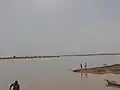 Fishermen in Zébé Marao Cameroon
References
- "Climate: Yagoua". Climate-Data.org. Retrieved August 5, 2020.
This article is issued from Wikipedia. The text is licensed under Creative Commons - Attribution - Sharealike. Additional terms may apply for the media files.