Ével
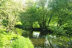
The Ével is a 52.4 km (32.6 mi) long river in the Morbihan département, western France.[1] Its source is near la Bottine, a hamlet in Radenac. It flows generally west-southwest. It is a left tributary of the Blavet into which it flows between Baud and Languidic.
| Ével | |
|---|---|
 | |
| Location | |
| Country | France |
| Physical characteristics | |
| Source | |
| • location | Radenac |
| • coordinates | 47°56′20″N 02°42′33″W |
| • elevation | 105 m (344 ft) |
| Mouth | |
• location | Blavet |
• coordinates | 47°52′58″N 03°06′39″W |
• elevation | 20 m (66 ft) |
| Length | 52.4 km (32.6 mi) |
| Basin size | 350 km2 (140 sq mi) |
| Discharge | |
| • average | 3.29 m3/s (116 cu ft/s) |
Communes along its course
This list is ordered from source to mouth: Radenac, Réguiny, Moréac, Naizin, Remungol, Pluméliau, Guénin, Baud, Camors, Languidic,
Notes
- This article is based on the equivalent article from the French Wikipedia, consulted on 12 April 2009.
References
External links
This article is issued from Wikipedia. The text is licensed under Creative Commons - Attribution - Sharealike. Additional terms may apply for the media files.
