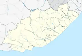
Adendorp
Adendorp is a village 8 km south of Graaff-Reinet, in the Sundays River Valley. Named after the former owner of the farm, N J Adendorff, who sub-divided it into smallholdings in about 1858. Municipal status was attained in 1878.[2]
Adendorp | |
|---|---|
 Adendorp  Adendorp | |
| Coordinates: 32.303°S 24.547°E | |
| Country | South Africa |
| Province | Eastern Cape |
| District | Sarah Baartman |
| Municipality | Dr Beyers Naudé |
| Area | |
| • Total | 31.34 km2 (12.10 sq mi) |
| Population (2011)[1] | |
| • Total | 401 |
| • Density | 13/km2 (33/sq mi) |
| Racial makeup (2011) | |
| • Black African | 4.2% |
| • Coloured | 17.0% |
| • White | 78.1% |
| • Other | 0.7% |
| First languages (2011) | |
| • Afrikaans | 88.8% |
| • English | 10.2% |
| • Other | 1.0% |
| Time zone | UTC+2 (SAST) |
| Postal code (street) | 6282 |
| PO box | 6282 |
References
- "Sub Place Adendorp". Census 2011.
- Raper, Peter E. (1987). Dictionary of Southern African Place Names. Internet Archive. p. 52. Retrieved 28 August 2013.
This article is issued from Wikipedia. The text is licensed under Creative Commons - Attribution - Sharealike. Additional terms may apply for the media files.
.svg.png.webp)
