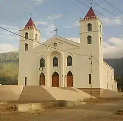
Ainaro
Ainaro is a town in East Timor, the capital of the Ainaro Municipality, and is located in the southwest part of the country. The Ainaro Subdistrict has a population of approximately 14,130 people (2001).[1] It contains the small mountain town of Ainaro, the district capital, along with the sucos of Soro, Maununo, Cassa, Suro Craic, Manutassi, and Mau-Ulo. The town of Ainaro is located 78 km south of Dili, the national capital.
Ainaro | |
|---|---|
Town | |
 | |
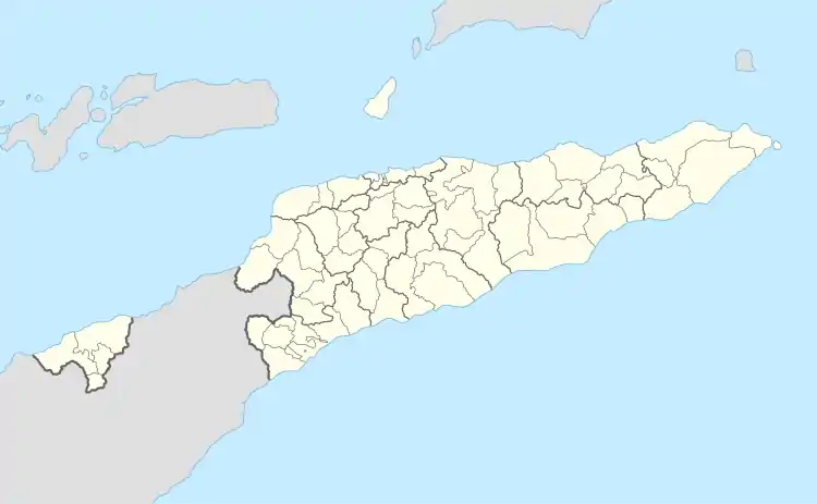 Ainaro Location in East Timor | |
| Coordinates: 8°59′49″S 125°30′18″E | |
| Country | |
| Municipality | Ainaro |
| Administrative post | Ainaro |
| Area | |
| • Total | 235.94 km2 (91.10 sq mi) |
| Elevation | 831 m (2,726 ft) |
| Population (2010) | |
| • Total | 15,558 |
| • Density | 66/km2 (170/sq mi) |
| Time zone | UTC+09:00 (TLT) |
| Climate | Am |
The town of Ainaro's main resources are its delicious organic coffee and aromatic sandalwood trees. It is a diverse community, where Catholics, Protestants, and Muslims are neighbors.
Destruction of Ainaro
During the Indonesian occupation from 1975 to 1999, Ainaro was home to a large contingent of Indonesian military (TNI)-backed pro-Indonesia militias in the months leading up to the 30 August 1999 referendum on independence. As a result, it suffered near-total devastation during the TNI orchestrated scorched earth operation with more than 95 percent of its buildings destroyed.
Sister cities
References
- "Ainaro & Manatuto Community Activation Project (AMCAP)" (PDF). UNDP Dili, East Timor. 2001. Retrieved 2017-03-07.
External links
![]() Media related to Ainaro (suco) at Wikimedia Commons
Media related to Ainaro (suco) at Wikimedia Commons