Aksdal
Aksdal is the administrative centre of Tysvær municipality, Norway. The village is located on the northern shore of the large lake Aksdalsvatnet, at the junction of the European route E134 and European route E39 highways. The village of Førre lies about 3 kilometres (1.9 mi) to the west of Aksdal and the village of Grinde lies about 1.5 kilometres (0.93 mi) to the east. Aksdal Church is located in Aksdal.[3]
Aksdal | |
|---|---|
Village | |
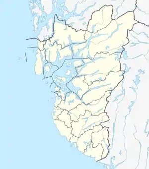 Aksdal Location in Rogaland county  Aksdal Aksdal (Norway) | |
| Coordinates: 59°25′26″N 05°26′44″E | |
| Country | Norway |
| Region | Western Norway |
| County | Rogaland |
| District | Haugaland |
| Municipality | Tysvær |
| Area | |
| • Total | 0.42 km2 (0.16 sq mi) |
| Elevation | 42 m (138 ft) |
| Population (2019)[1] | |
| • Total | 689 |
| • Density | 1,640/km2 (4,200/sq mi) |
| Time zone | UTC+01:00 (CET) |
| • Summer (DST) | UTC+02:00 (CEST) |
| Post Code | 5570 Aksdal |
The 0.42-square-kilometre (100-acre) village has a population (2019) of 689 and a population density of 1,640 inhabitants per square kilometre (4,200/sq mi).[1]
References
- Statistisk sentralbyrå (1 January 2019). "Urban settlements. Population and area, by municipality".
- "Aksdal, Tysvær (Rogaland)" (in Norwegian). yr.no. Retrieved 2015-09-01.
- Store norske leksikon. "Aksdal" (in Norwegian). Retrieved 2015-09-01.
| Authority control |
|---|
This article is issued from Wikipedia. The text is licensed under Creative Commons - Attribution - Sharealike. Additional terms may apply for the media files.
