Al Masrouhiya
Al Masrouhiya (Arabic: المسروحية) is a village in Qatar, located in the municipality of Al Daayen.[2]
Al Masrouhiya
المسروحية | |
|---|---|
Village | |
 Al Masrouhiya Al Masrouhiya | |
| Coordinates: 25°27′39″N 51°27′39″E | |
| Country | |
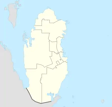
| Municipality | Al Daayen |
| Zone | Zone 70 |
| District no. | 122 |
| Area | |
| • Total | 9.7 km2 (3.7 sq mi) |
Etymology
The village derives its name from the Arabic term 'saraha', which roughly translates to "allow to wander in search of forage". As the site of a large rawdat (depression), rainfall would accumulate in the rawdat, facilitating plant growth. These plants would then be grazed upon by the goats of nomadic herdsman passing through the area.[3]
Geography
Located near the eastern shores of Al Daayen, Al Masrouhiya borders:[3]
- Rawdat Al Hamama to the south, separated by Wadi Al Wasah Street.
- Wadi Lusail to the west, separated by Street 1707.
- Lusail to the east, separated by Al Khor Coastal Road.
Gallery
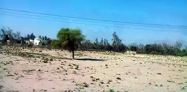 Desert in Al Masrouhiya
References
- "District Area Map". Ministry of Development Planning and Statistics. Retrieved 1 March 2019.
- "2015 Population census" (PDF). Ministry of Development Planning and Statistics. April 2015. Retrieved 25 May 2018.
- "District map". The Centre for Geographic Information Systems of Qatar. Retrieved 25 May 2018.
Capital: Umm Qarn | |||||
| Zone 69 |
| ||||
| Zone 70 |
| ||||
This article is issued from Wikipedia. The text is licensed under Creative Commons - Attribution - Sharealike. Additional terms may apply for the media files.