Alma, Israel
Alma (Hebrew: עַלְמָה) is a religious Jewish moshav in the Upper Galilee in northern Israel. It falls under the jurisdiction of the Merom HaGalil Regional Council. In 2019, it had a population of 712.[1] It is built on the basaltic plateau north of Safed.
Alma
עַלְמָה | |
|---|---|
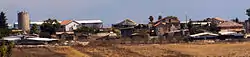 Alma, 2012 | |
 Alma 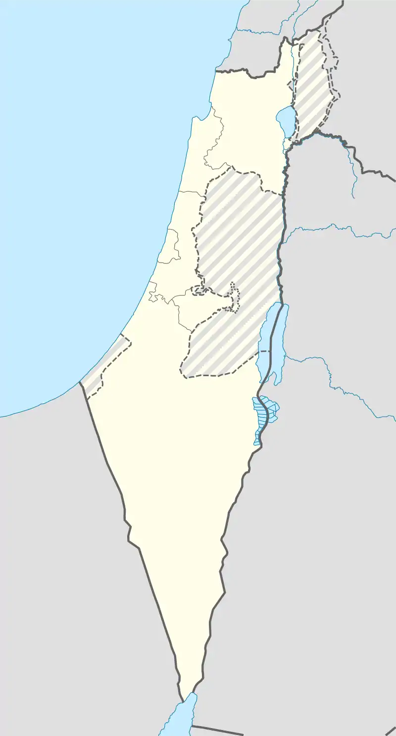 Alma | |
| Coordinates: 33°3′4.32″N 35°29′59.63″E | |
| Country | |
| District | Northern |
| Council | Merom HaGalil |
| Affiliation | Hapoel HaMizrahi |
| Founded | 1 September 1949 |
| Founded by | Libyan Jews |
| Population (2019)[1] | 712 |
History
Roman and Crusader periods
Under the Judaea Province, a Jewish town was situated at this spot. The name Alma is first mentioned in the Crusader period. The Jewish community existed until the 17th century.[2] Benjamin of Tudela (1130–1173) said that during his visit, he found 50 Jewish families living in Alma.[3]
Arab village of Alma
The nearby site of the Arab Palestinian village of Alma, whose land Alma stands on, was destroyed in the 1948 Arab–Israeli War.[2]
Modern Alma (1949)
Modern Alma was founded on 1 September 1949 by immigrants to Israel from Libya. In 1953, a group of converts to Judaism, known as the Jews of San Nicandro, arrived from Italy. They later abandoned Alma to live in other nearby moshavim. After the Italians left, Cochin Jews arrived from India.[2] By 1968, Alma's inhabitants were mostly from Libya and Tunisia. The economy is based on hillculture (vineyards, deciduous fruit, vegetables) and cattle. In its early years of development, Alma was associated with Hapoel HaMizrachi.
Archaeology
Near the moshav's cemetery lie the remnants of what has been identified as a synagogue, perhaps dating to the 3rd century, though it has never been systematically excavated or properly researched. Also nearby are several tombs, including those of two prominent Sages (tannaim) of the 1st and 2nd centuries CE, one belonging to Eleazar ben Arach, and one which is traditionally recognized as Eliezer ben Hurcanus' tomb.[2]
Geography
Alma is located about 600 m above sea level, in an area called Alma Heights, bordered by the Dishon Stream. The Dishon Stream Nature Reserve is located next to the village, as well as the Circassian village Rehaniya.
References
| Wikimedia Commons has media related to Alma, Israel. |
- "Population in the Localities 2019" (XLS). Israel Central Bureau of Statistics. Retrieved 16 August 2020.
- Mapa's concise gazetteer of Israel (in Hebrew). Yuval El'azari (ed.). Tel Aviv: Mapa Publishing. 2005. p. 424. ISBN 965-7184-34-7.CS1 maint: others (link)
- HaReuveni, Immanuel (1999). Lexicon of the Land of Israel (in Hebrew). Miskal - Yedioth Ahronoth Books and Chemed Books. p. 763. ISBN 965-448-413-7.
