Almasiani
Almasiani (Georgian: ალმასიანი) is a village in the historical region of Khevi, north-eastern Georgia. It is located on the banks of the river Tergi and its right bank tributary river Bidara. Administratively, it is part of the Kazbegi Municipality in Mtskheta-Mtianeti. Distance to the municipality center Stepantsminda is 18 km.
Almasiani ალმასიანი | |
|---|---|
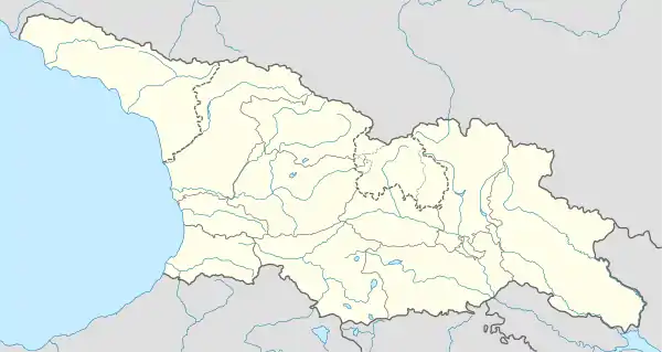 Almasiani ალმასიანი Location of Almasiani in Georgia | |
| Coordinates: 42°33′26″N 44°29′58″E | |
| Country | |
| Mkhare | Mtskheta-Mtianeti |
| Municipality | Kazbegi |
| Community | Kobi |
| Elevation | 1,960 m (6,430 ft) |
| Population (2014)[1] | |
| • Total | 22 |
| Time zone | UTC+4 (Georgian Time) |
Climate
| Month | Jan | Feb | Mar | Apr | May | Jun | Jul | Aug | Sep | Oct | Nov | Dec | Year |
|---|---|---|---|---|---|---|---|---|---|---|---|---|---|
| Average high °C (°F) | −2.7 (27.1) |
−2.5 (27.5) |
1.3 (34.3) |
7.2 (45.0) |
12.5 (54.5) |
15.9 (60.6) |
18.5 (65.3) |
18.6 (65.5) |
15.1 (59.2) |
10.3 (50.5) |
3.5 (38.3) |
−0.7 (30.7) |
8.1 (46.5) |
| Daily mean °C (°F) | −7.5 (18.5) |
−7.2 (19.0) |
−3.4 (25.9) |
1.5 (34.7) |
6.6 (43.9) |
9.7 (49.5) |
12.1 (53.8) |
12.2 (54.0) |
8.4 (47.1) |
4.5 (40.1) |
−1 (30) |
−5.1 (22.8) |
2.6 (36.6) |
| Average low °C (°F) | −12.2 (10.0) |
−11.9 (10.6) |
−8 (18) |
−4.1 (24.6) |
0.8 (33.4) |
3.5 (38.3) |
5.8 (42.4) |
5.9 (42.6) |
1.8 (35.2) |
−1.2 (29.8) |
−5.4 (22.3) |
−9.5 (14.9) |
−2.9 (26.8) |
| Average precipitation mm (inches) | 33 (1.3) |
40 (1.6) |
64 (2.5) |
102 (4.0) |
143 (5.6) |
133 (5.2) |
122 (4.8) |
135 (5.3) |
81 (3.2) |
67 (2.6) |
61 (2.4) |
39 (1.5) |
1,020 (40) |
| Source: [2] | |||||||||||||
Sources
- Georgian Soviet Encyclopedia, V. 1, p. 319, Tbilisi, 1975 year.
References
- "Population Census 2014". www.geostat.ge. National Statistics Office of Georgia. November 2014. Retrieved 2 June 2016.
- "Almasiani climate - Climate-Data.org". Climate-Data.org. Retrieved 2019-08-04.
This article is issued from Wikipedia. The text is licensed under Creative Commons - Attribution - Sharealike. Additional terms may apply for the media files.