Amboavory
Amboavory is a town and commune (Malagasy: kaominina) in Madagascar. It belongs to the district of Amparafaravola, which is a part of Alaotra-Mangoro Region. It is situated on the northern banks of Lake Alaotra. The population of the commune was estimated to be approximately 23,000 in 2001 commune census.[2]
Amboavory | |
|---|---|
 Amboavory Location in Madagascar | |
| Coordinates: 17°18′S 48°30′E | |
| Country | |
| Region | Alaotra-Mangoro |
| District | Amparafaravola |
| Elevation | 790 m (2,590 ft) |
| Population (2001)[2] | |
| • Total | 23,000 |
| Time zone | UTC3 (EAT) |
Primary and junior level secondary education are available in town. The majority 90% of the population of the commune are farmers. The most important crop is rice, while other important products are sugarcane and cassava. Industry and services provide both employment for 2% of the population. Additionally fishing employs 6% of the population.[2]
Transport
The district is linked to Moramanga by the Route nationale 44 (Moramanga - Ambatondrazaka - Imerimandroso - Amboavory (228 km)).
References and notes
- Estimated based on DEM data from Shuttle Radar Topography Mission
- "ILO census data". Cornell University. 2002. Retrieved 2008-03-24.
| Ambatondrazaka | 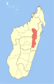 | |
|---|---|---|
| Amparafaravola | ||
| Andilamena | ||
| Anosibe An'ala |
| |
| Moramanga | ||