Amersham, Montserrat
Amersham is an abandoned village in the Saint Anthony Parish on the island of Montserrat.[2][1][3] The village, located north of the former neighbouring village of Kinsale, had a small population before the volcano erupted in 1995. Google Satellite shows the village is now unrecognizable,[4] due to it being buried beneath hardened lava flows and the encroaching forest. There are only the exposed top portions of two buildings still standing which sit at the southern entrance of the village.
Amersham | |
|---|---|
Evacuated Settlement | |
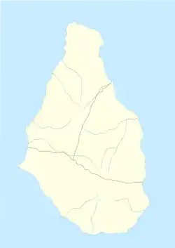 Amersham Location of Amersham within Montserrat 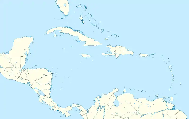 Amersham Amersham (Caribbean) | |
| Coordinates: 16°42′N 62°12′W | |
| Country | United Kingdom |
| Overseas Territory | Montserrat |
| Region | Saint Anthony[1] |
| Zone | Exclusion Zone |
| Elevation | 627 ft (191 m) |
| Time zone | UTC-6 (ECT) |
Amersham Estate
The village used to have an estate, called Amersham Estate.
References
- "Amersham, Montserrat - Geographical Names, map, geographic coordinates". Geographic.org. 1993-12-22. Retrieved 2017-05-30.
- "Amersham Map - Montserrat". Mapcarta. Retrieved 2017-05-30.
- "Amersham, Montserrat". Itouchmap.com. Retrieved 2017-05-30.
- "Google Maps". Google.co.uk. Retrieved 2017-05-30.
This article is issued from Wikipedia. The text is licensed under Creative Commons - Attribution - Sharealike. Additional terms may apply for the media files.