Ampara
Ampara (Sinhala: අම්පාර, Tamil: அம்பாறை) is the main town of Ampara District, governed by an Urban Council.
Ampara
අම්පාර அம்பாறை | |
|---|---|
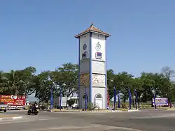 Ampara Clock Tower | |
 Ampara | |
| Coordinates: 7°17′0″N 81°40′0″E | |
| Country | Sri Lanka |
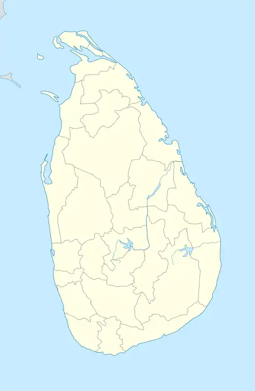
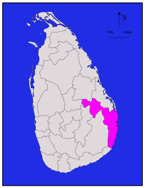
| Province | Eastern |
| District | Ampara |
| Government | |
| • Type | Urban Council |
| • Chairman | Indika Naleen Jayavikrama (UPFA) |
| Population (2012) | |
| • Total | 43,720[1] |
| Time zone | UTC+5:30 (Sri Lanka Standard Time Zone) |
It is located in the Eastern Province, Sri Lanka, about 360 km (224 mi) east of Colombo and approximately 60 km (37 mi) south of Batticaloa.
History
This was a hunters' resting place during British colonial days (late 1890s and early 1900). During the development of the Gal Oya scheme from 1949 by the Prime Minister D. S. Senanayake, Ampara was transformed into a town. Initially it was the residence for the construction workers of Inginiyagala Dam. Later it became the main administrative town of the Gal Oya Valley.
References
- "Statistical Information". Ampara District Secretriat. 18 February 2014. Archived from the original on 7 September 2017. Retrieved 27 October 2015.
| ||
This article is issued from Wikipedia. The text is licensed under Creative Commons - Attribution - Sharealike. Additional terms may apply for the media files.