Angiriai Reservoir
The Angiriai Reservoir is an artificial lake in Kėdainiai District Municipality, central Lithuania. It is located 7 kilometres (4.3 mi) north-west from Josvainiai town. It was created in 1980, when a dam on the Šušvė river had been built next to Angiriai village. In 2000, the dam was reconstructed and a small hydroelectric plant has been built.[2]
| Angiriai Reservoir | |
|---|---|
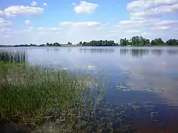 Angiriai Reservoir next to Angiriai village | |
 Angiriai Reservoir 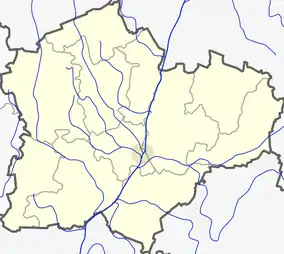 Angiriai Reservoir | |
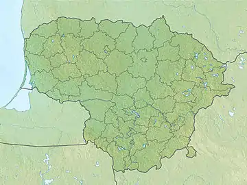
| Location | Kėdainiai District Municipality, Lithuania |
| Coordinates | 55°17′49″N 23°42′49″E |
| Native name | Angirių tvenkinys (Lithuanian) |
| Part of | Šušvė→ Nevėžis→ Neman→ Baltic Sea |
| Primary inflows | Šušvė, Paupelys, Žemėplėša, Cigoniškė |
| Primary outflows | Šušvė |
| First flooded | 1980 |
| Max. length | 11.6 km (7.2 mi)[1] |
| Max. width | 0.6 km (0.37 mi)[1] |
| Surface area | 2.483 km2 (0.959 sq mi)[1] |
| Average depth | 6.2 m (20 ft)[1] |
| Max. depth | 11.6 m (38 ft)[1] |
| Water volume | 0.0155 km3 (0.0037 cu mi)[1] |
| Shore length1 | 24 km (15 mi)[1] |
| Surface elevation | 63 m (207 ft)[2] |
| Settlements | Angiriai, Pilsupiai, Griniai, Užvarčiai |
| 1 Shore length is not a well-defined measure. | |
Shores of the reservoir at some places are high. The Pilsupiai Outcrop opens to the reservoir in Pilsupiai village. At the higher part of the Angiriai Reservoir the Skinderiškis Dendrological Park is located.
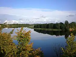
View to the Angiriai Reservoir from the Pilsupiai hillfort
References
| Wikimedia Commons has media related to Angirių_tvenkinys. |
- Tvenkinių katalogas (in Lithuanian). Kaunas: Aplinkos apsaugos ministerija. 1998.
- "Angirių tvenkinys". Visuotinė lietuvių enciklopedija (in Lithuanian). 1. Vilnius: Mokslo ir enciklopedijų leidybos institutas. 2001. Retrieved 2020-12-20.
This article is issued from Wikipedia. The text is licensed under Creative Commons - Attribution - Sharealike. Additional terms may apply for the media files.