Pilsupiai
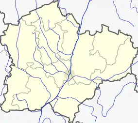
Pilsupiai (formerly Russian: Пилсупе, Polish: Piłsupie)[1] is a village in Kėdainiai district municipality, in Kaunas County, in central Lithuania. According to the 2011 census, the village had a population of 54 people.[2] It is located 10 kilometres (6.2 mi) from Krakės, along the Krakės-Josvainiai road, on the right bank of the Šušvė river (the Angiriai Reservoir), by its tributary Paupelys (or Pilsupys) mouth.
Pilsupiai | |
|---|---|
Village | |
 | |
 Pilsupiai Location in Lithuania 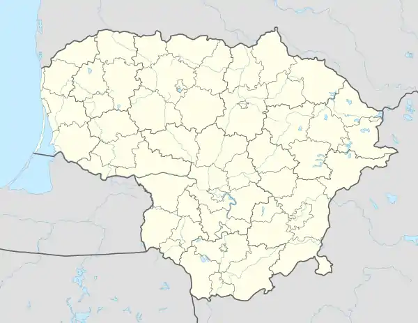 Pilsupiai Pilsupiai (Lithuania) | |
| Coordinates: 55°18′50″N 23°40′59″E | |
| Country | |
| County | |
| Municipality | Kėdainiai district municipality |
| Eldership | Krakės Eldership |
| Population (2011) | |
| • Total | 54 |
| Time zone | UTC+2 (EET) |
| • Summer (DST) | UTC+3 (EEST) |
There is the Pilsupiai hillfort (Bakanas' hill) on the confluence of the rivers. Nearby, a nature monument the Piluspiai outcrop is located on the shore of the Angiriai Reservoir. 1 kilometre (0.62 mi) away from Pilsupiai, at the former Skinderiškis estate place the Skinderiškis Dendrological Park is located.
History
Pilsupiai village is known since 1596. The first primary school was established here at the end of the 19th century.[3]
Demography
|
| ||||||||||||||||||||||||||||||||||||
| Source: 1902, 1923, 1959 & 1970, 1979, 1989, 2001, 2011 | |||||||||||||||||||||||||||||||||||||
Images
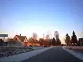 Pilsupiai in winter
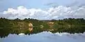 Pilsupiai outcrop
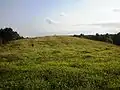 Pilsupiai hillfort
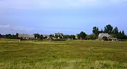
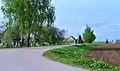 Northern side of Pilsupiai
References
- "Piłsupie". Geographical Dictionary of the Kingdom of Poland (in Polish). 15 pt. 2. Warszawa: Kasa im. Józefa Mianowskiego. 1902. p. 451.
- "2011 census". Statistikos Departamentas (Lithuania). Retrieved August 21, 2017.
- "Pilsupiai". Tarybų Lietuvos enciklopedija (in Lithuanian). 3. Vilnius: Vyriausioji enciklopedijų redakcija. 1987. p. 381.