Annai Airport
Annai Airport (IATA: NAI, ICAO: SYAN)[3] is an airport serving the village of Annai, in the Upper Takutu-Upper Essequibo Region of Guyana. The runway has 640 metres (2,100 ft) of asphalt paving, with the remainder grass.
Annai Airport | |||||||||||
|---|---|---|---|---|---|---|---|---|---|---|---|
| Summary | |||||||||||
| Serves | Annai | ||||||||||
| Elevation AMSL | 301 ft / 92 m | ||||||||||
| Coordinates | 3°57′45″N 59°07′15″W | ||||||||||
| Map | |||||||||||
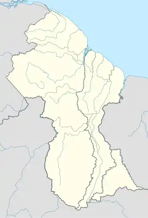 NAI Location in Guyana | |||||||||||
| Runways | |||||||||||
| |||||||||||
It is a small, hinterland airport that serves Guyana's tourism sector.[4]
Since 2019, Annai utilizes the Automatic Dependent Surveillance Broadcast System (ADSB) for tracking planes.[5]
See also
 Guyana portal
 Aviation portal
- List of airports in Guyana
- Transport in Guyana
References
- Bing Maps - Annai
- Airport information for NAI at Great Circle Mapper.
- "Annai Airport runways @ OurAirports". ourairports.com. Retrieved 2021-01-03.
- "Interior aviation infrastructure a key concern - Mekdeci, Nascimento". Stabroek News. 2018-08-31. Retrieved 2021-01-03.
- "Revocation of licences among sanctions for breach of new aviation safety measures- GCAA". Stabroek News. 2019-03-06. Retrieved 2021-01-03.
This article is issued from Wikipedia. The text is licensed under Creative Commons - Attribution - Sharealike. Additional terms may apply for the media files.