Anser Island
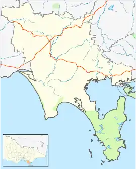
Anser Island lies off the southern tip of Wilsons Promontory in Victoria, Australia.[2]
 Anser Island | |
| Etymology | Anserinae, Cape Barren goose[1] |
|---|---|
| Geography | |
| Location | Bass Strait |
| Coordinates | 39°8′26.69″S 146°19′20.25″E |
| Area | 74 ha (180 acres)[2] |
| Length | 1.8 km (1.12 mi)[2] |
| Width | 1.0 km (0.62 mi)[2] |
| Highest elevation | 152 m (499 ft)[2] |
| Administration | |
Australia | |
| State | Victoria |
The island is within Wilsons Promontory National Park. The surrounding waters to the mean high-water mark are within Wilsons Promontory Marine National Park.[3] It is part of the Wilsons Promontory Islands Important Bird Area, identified as such by BirdLife International because of its importance for breeding seabirds.[4]
The island was named by Lieutenant H. J. Stanley, who surveyed the islands west and south of Wilsons Promontory in 1868, probably after the Cape Barren goose (subfamily Anserinae).[1]
References
- Bird, Eric (12 October 2006). "Place Names on the Coast of Victoria" (PDF). The Australian National Placename Survey (ANPS). Archived from the original (PDF) on 10 February 2011.
- Harris, M. P.; Brown, R. S.; Deerson, M. P.; Norman, F. I. (November 1980). "Seabird Islands No 89, Anser Island, Anser Group, Victoria" (PDF). Corella. 4 (4): 83–84. Archived from the original (PDF) on 3 March 2014. Retrieved 11 July 2017.
- Parks Victoria (2006), Wilsons Promontory Marine National Park and Wilsons Promontory Marine Park Management Plan (PDF), p. 1, ISBN 0731183460, archived from the original (PDF) on 1 April 2012, retrieved 24 July 2017
- "Important Bird Areas factsheet: Corner Inlet". BirdLife International. 2017.
| Near East Gippsland | |
|---|---|
| Near Corner Inlet | |
| Near Wilsons Promontory | |
| In Western Port | |
| In Port Phillip | |
| Near Portland Bay | |
| In rivers | |
| |
This article is issued from Wikipedia. The text is licensed under Creative Commons - Attribution - Sharealike. Additional terms may apply for the media files.