Anti-Taurus
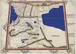
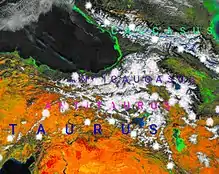
The Anti-Taurus (Greek: Αντίταυρος, Latin: Anti-Taurus (ANTITAVRVS), its western part is called today by the Turks Aladağlar) is the central chain of the mountain ranges of the Armenian Highlands, which runs from west to east across Western Armenia parallel to the Armenian Taurus. The Anti-Taurus consists of two parts, western and eastern. In the west, the Anti-Taurus departs north of the Cilician Taurus, and passing through the center of the Armenian plateau, ends in the east with the Ararat summits. The highest point of the Anti-Taurus is Mount Ararat, which is the highest peak of the Armenian Highlands and all of Turkey and also the highest mountain in the world from the foot to the crown(relative to the plain), the height of the cone above sea level is 5165 meters, the distance from the foot to the top - 4365 meters.
Climate
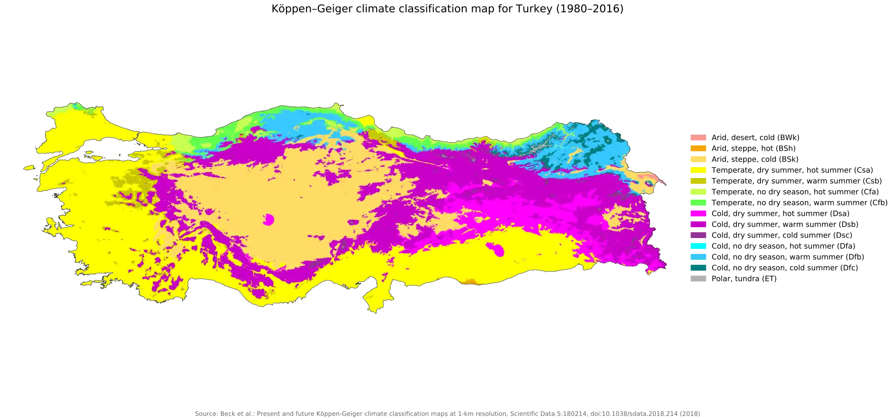
The eastern Anti-Taurus divides the Armenian Highlands into two climatic zones: the southern, dry climate zone of the Tauride mountains, and the northern, moist climate zone of western Transcaucasia.
In historical geography and political ethnography
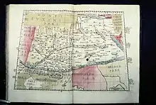
Strabo said about the Western Anti-Taurus, that having risen to its summits you can observe both seas (Mediterranean and Black) washing the peninsula of Asia Minor.[1][2]
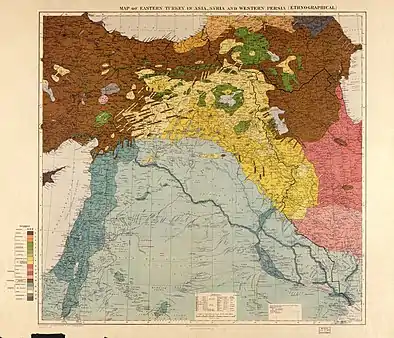
Until the 1915 Armenian Genocide in Ottoman empire and Transcaucasia, the northern slopes of the Anti-Taurus was one of the main areas of concentration of the Armenian population in Western Armenia.
References
- The geography of Strabo. H. G. Bohn. 1856.
- Amaseia, Strabo of (2016). Delphi Complete Works of Strabo - Geography (Illustrated). Delphi Classics. ISBN 978-1-78656-368-2.