Anupgarh
Anupgarh is a town in the Sri Ganganagar District state of Rajasthan, India. It is the headquarters town for Anupgarh Tehsil.
Anupgarh
Anoopgarh, chugher(old name) | |
|---|---|
Town | |
 Anoopgarh fort is located in the town of Anupgarh. | |
| Nickname(s): APH | |
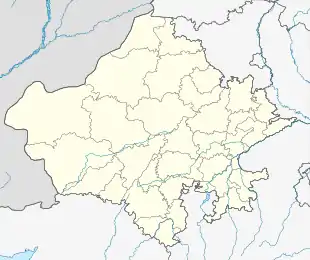 Anupgarh Location in map  Anupgarh Anupgarh (India) | |
| Coordinates: 29°11′22″N 73°12′30″E | |
| Country | India |
| State | Rajasthan |
| District | Anupgarh |
| Founded by | maharaja anup singh rule of bikaner |
| Area | |
| • Total | 4.68 km2 (1.81 sq mi) |
| Elevation | 155 m (509 ft) |
| Population (2011) | |
| • Total | 135,237 |
| Languages | |
| • Official | Hindi |
| • Other commonly used | Rajasthani, Punjabi |
| Time zone | UTC+5:30 (IST) |
| PIN | 335701 |
| Telephone code | 01498 |
| ISO 3166 code | RJ-IN |
| Vehicle registration | RJ13 |
Geography

Anoopgarh/Anupgarh has an average elevation of 155 metres (508 feet), and is very close to the border with Pakistan. The fort at Anupgarh was built about 1689 by the Mughal governor to help suppress the local Bhati Rajputs who were rebelling.[1]
Demographics
In the 2001 India census, the town of Anupgarh had a population of 29,548. Males constituted 54% of the population and females 46%. Anupgarh had an average literacy rate of 61.2%, higher than the national average of 59.5%; with 67.3% of the males and 54.0% of females literate.[2] In 2001 in Anupgarh, 15.6% of the population was under six years of age.[2] The majority of the population in Anupgarh speaks the Punjabi, Hindi and Rajasthani language.
References
- Singh, Rajvi Amar (1992). Mediaeval History of Rajasthan: Western Rajasthan. Bikaner, Rajasthan, India: Singh. p. 347. OCLC 29798320.
- "Table-3: Population, population in the age group 0-6 and literates by sex - Cities/Towns (in alphabetic order): 2001". Office of the Registrar General, India. Archived from the original on 4 April 2002.
External links
- "Website of Anupgarh beeo office".
- "Official web site of Sri Ganganagar". Archived from the original on 19 January 2012.