Apaw-ye Kyun
Apaw-ye Kyun or Apaw Ye Kyun is an island off the coast of Rakhine State, Burma.
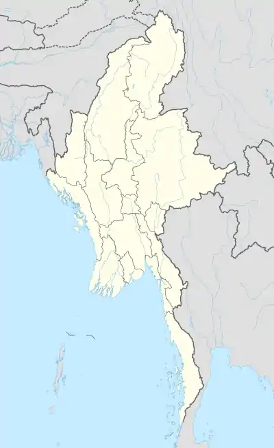
Apaw-ye Kyun | |
|---|---|
 Apaw-ye Kyun | |
| Coordinates: 18°22′30″N 94°19′20″E | |
| Country | Myanmar |
| State | Rakhine |
| Area | |
| • Total | 0.7 km2 (0.3 sq mi) |
| Elevation | 90 m (300 ft) |
| Time zone | UTC+6:30 (Myanmar Standard Time) |
Geography
Apaw-ye Kyun is a bluff island 1.4 km (1 mi) long and 0.4 km (0 mi) wide. It is separated from the Rakhine coast by a 0.5 km (0 mi) wide sound.[1]
The island is wooded and rises to a height of 90 metres (295 feet). There are mud volcanoes about 2 km (1 mi) to the west and the SSW of the island.[2]
See also
- List of islands of Burma
References
- GoogleEarth
- Prostar Sailing Directions 2005 India & Bay of Bengal. Enroute. National Geospatial-intelligence Agency (Feb 1, 2007). p. 168
This article is issued from Wikipedia. The text is licensed under Creative Commons - Attribution - Sharealike. Additional terms may apply for the media files.