Arlington, Free State
Arlington is a small farming town in the Free State province of South Africa. It was established as an important railway link between Lindley and Senekal.
Arlington | |
|---|---|
 Arlington  Arlington | |
| Coordinates: 28°02′S 27°51′E | |
| Country | South Africa |
| Province | Free State |
| District | Thabo Mofutsanyane |
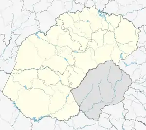
| Municipality | Nketoana |
| Area | |
| • Total | 6.3 km2 (2.4 sq mi) |
| Population (2011)[1] | |
| • Total | 3,935 |
| • Density | 620/km2 (1,600/sq mi) |
| Racial makeup (2011) | |
| • Black African | 98.1% |
| • Coloured | 0.2% |
| • Indian/Asian | 0.2% |
| • White | 1.3% |
| • Other | 0.2% |
| First languages (2011) | |
| • Sotho | 88.3% |
| • Afrikaans | 3.8% |
| • Sign language | 3.1% |
| • Zulu | 2.0% |
| • Other | 2.7% |
| Time zone | UTC+2 (SAST) |
| Postal code (street) | 9602 |
| PO box | 9602 |
| Area code | 058 |
Geography and layout
Arlington (like all Free State towns) features a racially segregated geography due to the policies of apartheid. This is evidenced by the fact that the white population live in the actual town of Arlington while the non-white (almost exclusively black) community lives in the neighboring township of Leratswana, which is currently being greatly extended.
Transport
References
- Sum of the Main Places Leratswana and Arlington from Census 2011.
Municipalities and communities of Thabo Mofutsanyana District Municipality, Free State | ||
|---|---|---|
District seat: Phuthaditjhaba (Witsieshoek) | ||
| Setsoto | .svg.png.webp) Thabo Mofutsanyana District within South Africa | |
| Dihlabeng | ||
| Nketoana | ||
| Maluti-a-Phofung | ||
| Phumelela | ||
| Mantsopa | ||
This article is issued from Wikipedia. The text is licensed under Creative Commons - Attribution - Sharealike. Additional terms may apply for the media files.