Armula Peak
Armula Peak (Bulgarian: връх Армула, romanized: vrah Armula, IPA: [ˈvrɤx ɐrˈmuɫɐ]) is the ice-covered peak rising to 900 m in the west foothills of Hemimont Plateau, Loubet Coast in Graham Land, Antarctica. The feature has steep and partly ice-free south slopes, and surmounts Klebelsberg Glacier to the south, and Finsterwalder Glacier to the north and northwest.
The peak is named after the ancient Thracian settlement of Armula in Western Bulgaria.
Location
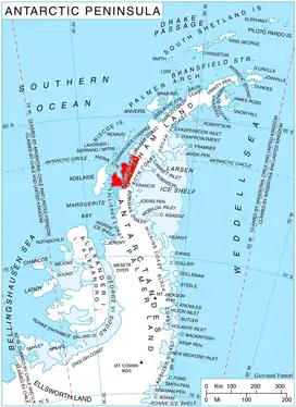
Armula Peak is located at 67°21′21″S 66°19′30″W, which is 8.75 km south-southeast of Erovete Peak, 11 km north of Smilyan Bastion and 14.8 km east-northeast of Quervain Peak. British mapping in 1978.
Maps
- Antarctic Digital Database (ADD). Scale 1:250000 topographic map of Antarctica. Scientific Committee on Antarctic Research (SCAR). Since 1993, regularly upgraded and updated.
- British Antarctic Territory. Scale 1:200000 topographic map. DOS 610 Series, Sheet W 67 66. Directorate of Overseas Surveys, Tolworth, UK, 1978.
References
- Bulgarian Antarctic Gazetteer. Antarctic Place-names Commission. (details in Bulgarian, basic data in English)
- Armula Peak. SCAR Composite Antarctic Gazetteer.
External links
- Armula Peak. Copernix satellite image
This article includes information from the Antarctic Place-names Commission of Bulgaria which is used with permission.