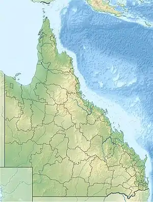
Auburn River National Park
Auburn River National Park is a protected area in the North Burnett Region, Queensland, Australia.[1] It is in the north-east of the locality of Hawkwood extending into southern Dykehead.[2]
| Auburn River National Park Queensland | |
|---|---|
IUCN category II (national park) | |
 Auburn River National Park | |
| Nearest town or city | Mundubbera |
| Coordinates | 25°43′18″S 151°03′07″E |
| Established | 1964 |
| Area | 3.9 km2 (1.5 sq mi) |
| Managing authorities | Queensland Parks and Wildlife Service |
| Website | Auburn River National Park |
| See also | Protected areas of Queensland |
Geography
The park is 277 km northwest of Brisbane. The park is located on the Auburn River, a tributary of the Burnett River, south-west of Mundubbera.
Auburn River National Park was established in 1964 and features a steep river gorge and hardwood forests. It contains some relics from a brief, unsuccessful goldrush in the late 19th century.[3]
Camping is allowed on the northern banks of the river at a campground where some facilities are provided.[4] Bush camping is also permitted.
Access is via Mundubbera-Durong Road.[3]
Walking Tracks
Walks from Auburn River Camping Area
Gorge Lookout Walk (Class 3)
Distance: 600m return
Time: Allow 15 minutes
Riverbed and Rockpools Trail (Class 4)
Distance: 1.5 km return
Time: Allow 1 hour
Gorge-top Walk (Class 3)
Distance: 3.2 km
Time: Allow 1.5 hours
References
- "Auburn River National Park (entry 992)". Queensland Place Names. Queensland Government. Retrieved 24 June 2017.
- "Queensland Globe". State of Queensland. Retrieved 17 January 2018.
- "Mundubbera - Places to See". Sydney Morning Herald. Fairfax Media. 1 January 2009. Retrieved 8 September 2014.
- "Auburn River National Park: Camping information". Department of National Parks, Recreation, Sport and Racing. 15 October 2013. Retrieved 8 September 2014.