Aung Myay
Aung Myay is a village and village tract in Hkamti Township in Hkamti District in the Sagaing Region of northwestern Burma. It lies on the Nam Tonhtun, a tributary of the Chindwin River. At the time of the 2014 census the village tract had a population of 1366 people.
- not to be confused with Aungmyethazan Township of Mandalay Region.
Aung Myay | |
|---|---|
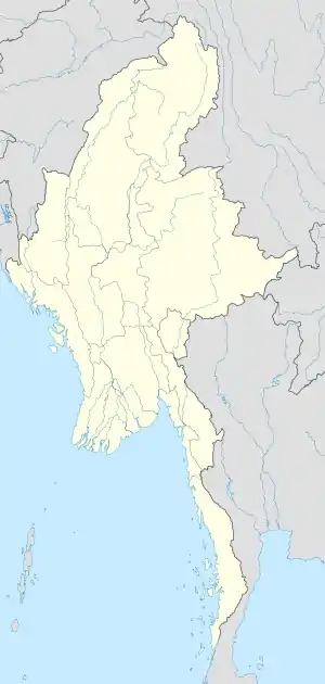 Aung Myay Location in Burma | |
| Coordinates: 25°57′48″N 95°43′26″E | |
| Country | |
| Region | Sagaing Region |
| District | Hkamti District |
| Township | Hkamti Township |
| Population (2014) | |
| • Total | 1,366 |
| Time zone | UTC+6.30 (MST) |
Geography
Aung Myay is situated about 4.5 kilometres (2.8 mi) southeast of Hkamti in the Sagaing Region of northwestern Burma. It lies on the Nam Tonhtun (also spelled Nam Ton Tun), which flows down from the Chindwin River between the village and Hkamti.[1] The Nam Ton Tun meanders around the village. The areas immediately to the west and east of Aung Myay are forested but along the river bank are fields where crops are grown in the areas to the northwest and southeast.[2]
Demographics
At the time of the 2014 census the village tract had a population of 1366 people of which 883 were men and 483 were women. 145 households were recorded.[3]
References
- "Aung Myay". Elevationmap.net. Retrieved 15 February 2020.
- Google (15 February 2020). "Aung Myay" (Map). Google Maps. Google. Retrieved 15 February 2020.
- Hkamti Township Report, Department of Population, Myanmar Ministry of Labour, Immigration and Population.
Capital: Hkamti | |
| Village tracts and wards | |
| Landmarks |
|
| Geography |
|