Bachelors Walk, Dublin
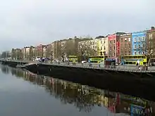
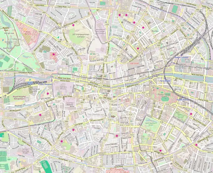
Bachelors Walk is a street and quay on the north bank of the Liffey, Dublin, Ireland. It runs between Liffey Street Lower (to the west) and O'Connell Street Lower and O'Connell Bridge (to the east). It was the setting for the eponymous TV series.
 | |
 | |
| Native name | Siúlán Bhaitsiléir[1] (Irish) |
|---|---|
| Namesake | A property owner named Batchelor[2] |
| Length | 270 m (890 ft) |
| Width | 17 metres (56 ft) |
| Postal code | D01 |
| Coordinates | 53°20′50″N 6°15′37″W |
| east end | O'Connell Bridge |
| west end | Ha'penny Bridge |
| Other | |
| Known for | Bachelors Walk (TV series), Bachelor's Walk massacre |
The Irish Church Missions - part of the Church of Ireland - are located on Bachelors Walk.[3]
In July 1914, a hostile crowd accosted a column of troops of the King's Own Scottish Borderers on Bachelors Walk.[4][5] The troops responded to stone throwing with bayonets and rifle fire, resulting in the deaths of several civilians and injuries to dozens more. The event later became known as the Bachelor's Walk massacre.[6]
References
| Wikimedia Commons has media related to Bachelors Walk, Dublin. |
- "Siúlán Bhaitsiléir/Bachelors Walk". Logainm.ie.
- Healy, Elizabeth; Moriarty, Christopher; O'Flaherty, Gerard (February 8, 1988). The Book of the Liffey: From Source to the Sea. Wolfhound Press. ISBN 9780863271670 – via Google Books.
- "1882 - Irish Church Missions, No.28 Bachelor's Walk, Dublin - Architecture of Dublin City". Archiseek.com. 2012-01-04. Retrieved 2013-04-30.
- "Three people shot dead by British soldiers on Bachelors Walk - More than 30 others injured as 21 soldiers shoot into crowd". Century Ireland. RTE.ie. Retrieved 18 December 2017.
- "No memorial for Bachelor's Walk victims". Century Ireland. RTE.ie. Retrieved 18 December 2017.
- "Death on Bachelor's Walk - 26 July 1914". Irish History. TurtleBunbury.com. Retrieved 18 December 2017.
This article is issued from Wikipedia. The text is licensed under Creative Commons - Attribution - Sharealike. Additional terms may apply for the media files.