Bagdogra
Bagdogra is a settlement in the Naxalbari CD block in the Siliguri subdivision of the Darjeeling district in the Indian state of West Bengal. Bagdogra is a part of the Greater Siliguri Metropolitan Area. Bagdogra is well connected by air from four major cities of India - Delhi, Mumbai, Kolkata and Chennai. Bagdogra has a railway station. Bagdogra Airport is now a Customs Airport.[3]
Bagdogra | |
|---|---|
Settlement | |
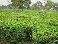 Tea Estate at Bagdogra | |
 Bagdogra Location in West Bengal, India  Bagdogra Bagdogra (India) 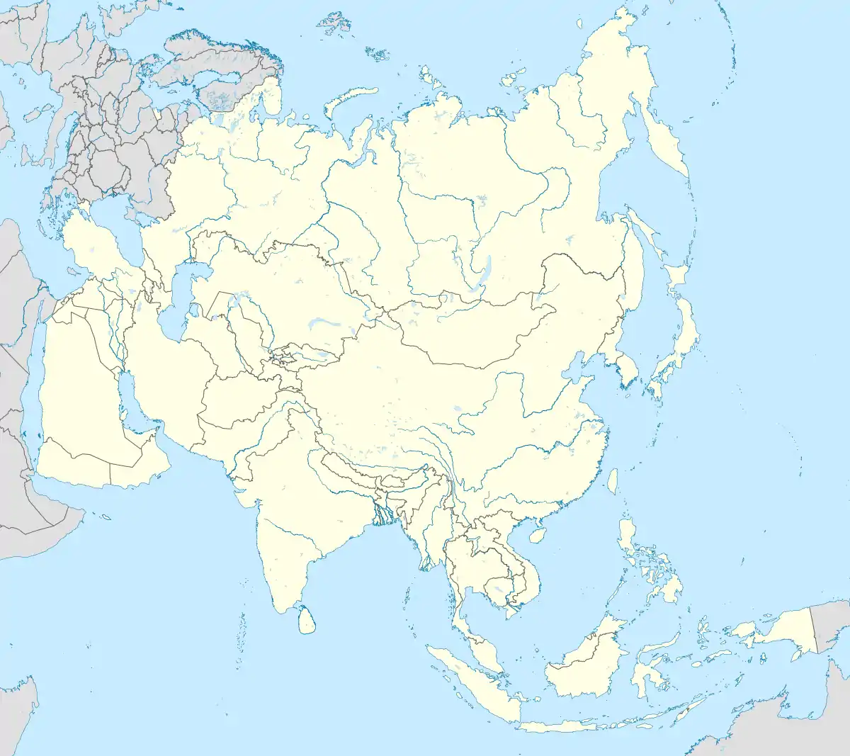 Bagdogra Bagdogra (Asia) | |
| Coordinates: 26°42′N 88°19′E | |
| Country | |
| State | West Bengal |
| District | Darjeeling |
| Subdivision | Siliguri |
| Government | |
| • Body | Upper Bagdogra Gram Panchayet / Lower Bagdogra Gram Panchayet |
| Area | |
| • Total | 10 km2 (4 sq mi) |
| Elevation | 136 m (446 ft) |
| Population (2015) | |
| • Total | 153,580 |
| • Density | 15,000/km2 (40,000/sq mi) |
| Languages | |
| • Official | Bengali[1][2] |
| • Additional official | English[1] |
| Time zone | UTC+5:30 (IST) |
| Area code(s) | 0353 |
| Vehicle registration | WB 73/74 |
Geography
| Places in the south-western portion of Siliguri subdivision in Darjeeling district CT: census town, R: rural/ urban centre, F: facilities Owing to space constraints in the small map, the actual locations in a larger map may vary slightly |
Location
Bagdogra is located at 26.42°N 88.19°E. It is 11 km away from Siliguri. It has two National Highways :- AH 2 and NH 31C. It also has Asian Highway (AH2).

Area overview
The map alongside shows the Siliguri subdivision of Darjeeling district. This area is spread across the foothills of the Himalayas and is a plain land gently sloping from north to south. While the northern part is mentioned as the Terai region, the larger southern portion forms the western part of the Dooars region. While 55.11% per cent of the population resides in the rural areas, 44.89% resides in the urban areas. On the western side the Mechi River forms a long border with Nepal. On the eastern side the Mahananda River forms a short border with Bangladesh.[4][5] Note: The map alongside presents some of the notable locations in the subdivision. All places marked in the map are linked in the larger full screen map.
Climate
| Month | Jan | Feb | Mar | Apr | May | Jun | Jul | Aug | Sep | Oct | Nov | Dec | Year |
|---|---|---|---|---|---|---|---|---|---|---|---|---|---|
| Record high °C (°F) | 32.5 (90.5) |
33.2 (91.8) |
38.1 (100.6) |
41.7 (107.1) |
40.8 (105.4) |
39.6 (103.3) |
40.4 (104.7) |
40.0 (104.0) |
39.2 (102.6) |
36.6 (97.9) |
33.8 (92.8) |
32.6 (90.7) |
41.7 (107.1) |
| Mean maximum °C (°F) | 25.6 (78.1) |
27.9 (82.2) |
32.8 (91.0) |
34.9 (94.8) |
35.3 (95.5) |
36.3 (97.3) |
36.0 (96.8) |
36.7 (98.1) |
35.8 (96.4) |
33.5 (92.3) |
30.4 (86.7) |
27.2 (81.0) |
37.0 (98.6) |
| Average high °C (°F) | 23 (73) |
25 (77) |
29 (84) |
32 (90) |
32 (90) |
31 (88) |
31 (88) |
32 (90) |
31 (88) |
30 (86) |
27 (81) |
25 (77) |
29 (84) |
| Average low °C (°F) | 10 (50) |
12 (54) |
15 (59) |
20 (68) |
22 (72) |
24 (75) |
25 (77) |
25 (77) |
24 (75) |
21 (70) |
15 (59) |
11 (52) |
19 (66) |
| Mean minimum °C (°F) | 6.5 (43.7) |
7.2 (45.0) |
12.5 (54.5) |
16.5 (61.7) |
18.6 (65.5) |
22.0 (71.6) |
23.4 (74.1) |
23.6 (74.5) |
21.9 (71.4) |
16.8 (62.2) |
11.9 (53.4) |
7.7 (45.9) |
6.0 (42.8) |
| Record low °C (°F) | 1.9 (35.4) |
3.5 (38.3) |
6.2 (43.2) |
9.6 (49.3) |
15.0 (59.0) |
20.0 (68.0) |
21.0 (69.8) |
21.0 (69.8) |
19.8 (67.6) |
12.3 (54.1) |
6.4 (43.5) |
2.4 (36.3) |
1.9 (35.4) |
| Average precipitation mm (inches) | 12 (0.5) |
28 (1.1) |
48 (1.9) |
99 (3.9) |
300 (11.8) |
658 (25.9) |
804 (31.7) |
640 (25.2) |
549 (21.6) |
156 (6.1) |
25 (1.0) |
20 (0.8) |
3,339 (131.5) |
| Average rainy days | 1 | 3 | 3 | 8 | 18 | 20 | 27 | 26 | 16 | 8 | 3 | 1 | 134 |
| Average relative humidity (%) | 76 | 70 | 62 | 79 | 83 | 89 | 92 | 86 | 82 | 75 | 69 | 76 | 78 |
| Average ultraviolet index | 5 | 7 | 9 | 11 | 12 | 13 | 14 | 13 | 11 | 8 | 5 | 4 | 9 |
| Source 1: normal temperatures[6][7]Ultraviolet Index [8] | |||||||||||||
| Source 2: Extremes(India Meteorological Department[9]), Mean maximum and Mean minimum temperatures[10] | |||||||||||||
Civic Administration
Police station
Bagdogra police station has jurisdiction over parts of Siliguri Municipal Corporation.[11][12]
Transport
Airway
The one airport, Bagdogra Airport, (IATA: IXB, ICAO: VEBD) is located in about 16 km (9.9 mi) west of the city of Siliguri in the Darjeeling district in northern West Bengal, India. It is operated as a civil enclave at Air Force Station Bagdogra. It is the gateway airport to the hill station towns of Darjeeling, Kurseong, Mirik, and Kalimpong and the state of Sikkim, and sees thousands of tourists annually. Permits for Foreign tourists intending to journey to Sikkim are issued at this airport. And airport is a major stop in the region with flights connecting Kolkata, New Delhi, Mumbai, Bangalore, Chennai and Guwahati. The airport also has regular helicopter flights to Gangtok, the capital of Sikkim. The central government of India conferred customs airport status to the airport in 2002 with limited international operations.[2][3] Air traffic at Bagdogra crossed 1 million for the first time growing at 43.6% percent in 2014-15. This is one of the few airports in India with zero sales tax on aviation turbine fuel.
Railway
Railways in the Siliguri area | |||||||||||||||||||||||||||||||||||||||||||||||||||||||||||||||||||||||||||||||||||||||||||||||||||||||||||||||||||||||||||||||||||||||||||||||||||||
|---|---|---|---|---|---|---|---|---|---|---|---|---|---|---|---|---|---|---|---|---|---|---|---|---|---|---|---|---|---|---|---|---|---|---|---|---|---|---|---|---|---|---|---|---|---|---|---|---|---|---|---|---|---|---|---|---|---|---|---|---|---|---|---|---|---|---|---|---|---|---|---|---|---|---|---|---|---|---|---|---|---|---|---|---|---|---|---|---|---|---|---|---|---|---|---|---|---|---|---|---|---|---|---|---|---|---|---|---|---|---|---|---|---|---|---|---|---|---|---|---|---|---|---|---|---|---|---|---|---|---|---|---|---|---|---|---|---|---|---|---|---|---|---|---|---|---|---|---|---|
| |||||||||||||||||||||||||||||||||||||||||||||||||||||||||||||||||||||||||||||||||||||||||||||||||||||||||||||||||||||||||||||||||||||||||||||||||||||
It has a Railway Station under NFR Siliguri - Katihar (Division) Railway.
Roadway
It has two National Highways :- NH 31 and NH 31C. It also has Aisan Highway (AH2) which is connected with Nepal and Bangladesh.
It provides a gateway to the state of North - East India.
Education
The University of North Bengal was established at Raja Rammohunpur in 1962.[13]
Kalipada Ghosh Tarai Mahavidyalaya was established at Bagdogra in 1988. Affiliated with the University of North Bengal, it offers honours courses in Bengali, Nepali, Hindi, English, geography, history, political science, sociology, accountancy, management, and general courses in arts, science and commerce.[14][15]
Chittaranjan High School is a coeducational higher secondary institution.[16]
Private School
BAGDOGRA PUBLIC SCHOOL was established in 2014 at Rupsinghjote, Gossainpur, Lower Bagdogra, Pin- 734014, bearing the contact number 9126193383.
References
- "Fact and Figures". www.wb.gov.in. Retrieved 15 January 2019.
- "52nd Report of the Commissioner for Linguistic Minorities in India" (PDF). nclm.nic.in. Ministry of Minority Affairs. p. 85. Archived from the original (PDF) on 25 May 2017. Retrieved 15 January 2019.
- Kumar, Brajesh (2003). Pilgrimage Centers of India. New York: Diamond Pocket Books. p. 170. ISBN 81-7182-185-5. Retrieved 28 May 2009.
- "District Census Handbook, Darjeeling, Series 20, Part XII A, 2011 Census of India" (PDF). Page 13: Physiography. Directorate of Census Operations, West Bengal. Retrieved 29 March 2020.
- "District Census Handbook, Darjeeling, Series 20, Part XII A, 2011 Census of India" (PDF). Pages 15-17: Drainage. Directorate of Census Operations, West Bengal. Retrieved 29 March 2020.
- "Climate data for Siliguri". www.weatheronline.in. Retrieved 10 November 2020.
- "Regional Meteorological Department, Kolkata". Retrieved 7 December 2020.
- "Average UV Index for Siliguri". Retrieved 7 December 2020.
- "Extremes of Temperature & Rainfall for Indian Stations (Up to 2012)" (PDF). India Meteorological Department. December 2016. p. M229. Archived from the original (PDF) on 21 October 2020. Retrieved 21 October 2020.
- "Climate for Siliguri city". Retrieved 3 December 2020.
- "District Statistical Handbook 2013 Darjeeling". Tables 2.1, 2.2. Department of Statistics and Programme Implementation, Government of West Bengal. Archived from the original on 21 January 2019. Retrieved 22 February 2020.
- "District Profile - Darjeeling". District administration. Retrieved 22 February 2020.
- "University of North Bengal". NBU. Retrieved 24 February 2020.
- "Kalipada Ghosh Tarai Mahavidyalaya". KGTM. Retrieved 24 February 2020.
- "Kalipada Ghosh Tarai Mahavidyalaya". Careers360. Retrieved 24 February 2020.
- "Chittaranjan High School". Target Study. Retrieved 27 March 2020.