Banskandi
Banskandi is a Block level area in Cachar district, Assam, India, almost 13 km from Silchar. Many small villages are there under its shade. Banskandi is a commercial center for the low level villager and small and village level entrepreneur, Though not much develop Banskandi fulfills the need of the common man who cannot effort for high level livelihood.
Banskandi | |
|---|---|
Village | |
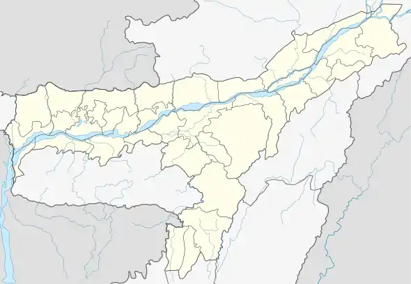
 Banskandi Location in Assam, India  Banskandi Banskandi (India) | |
| Coordinates: 24°48′0″N 92°54′0″E | |
| Country | |
| State | Assam |
| District | Cachar |
| Government | |
| • Body | Gram panchayat |
| Elevation | 23 m (75 ft) |
| Languages | |
| • Official | Bengali |
| Time zone | UTC+5:30 (IST) |
| Vehicle registration | AS |
| Coastline | 0 kilometres (0 mi) |
Geography
It is located at an elevation of 23 m from MSL.[1]
Location
National Highway 53 Now National Highway 37 passes through Banskandi.
Livelihood
Majority of peoples here are really wealthy in terms of Time, happiness, inner peace, integrity, love, character, manners, health, respect, morals, trust, patience, class, common sense, dignity. All classes high to low. Every community lives together in familyhood.
Languages and Peoples
Bengali and Manipuri are the major population of the area, Bengali language is the common languages spoken in the region as a commercial language. Hindi Speaking people are very few in numbers.
Banks
Assam Gramin Vikash Bank, United bank of India, Bahumuki bank, Bandan bank, and some others private and microfinance banks are leading the financial sector ...
School and Institute
- Banskandi Darul Ullum Madrassa
- Banskandi Nena Meah Higher Secondary School
- MD English School
- pioneer English school
- Banskandi Junior College
- Barak Valley Secondary School
- Neem public school
- Moulana Ahmed Ali Degree college
Darul Uloom Banskandi, Sal Bagan Efam and Banskandi Lake (Anawa) are some of the interesting place to visit.
References
- http://www.fallingrain.com/world/IN/3/Banskandi.html Map and weather of Banskandi