Barnhart, Texas
Barnhart is an unincorporated community in Irion County, Texas, United States.[1] As of 2017, the population was estimated to be 105.[2]
Barnhart, Texas | |
|---|---|
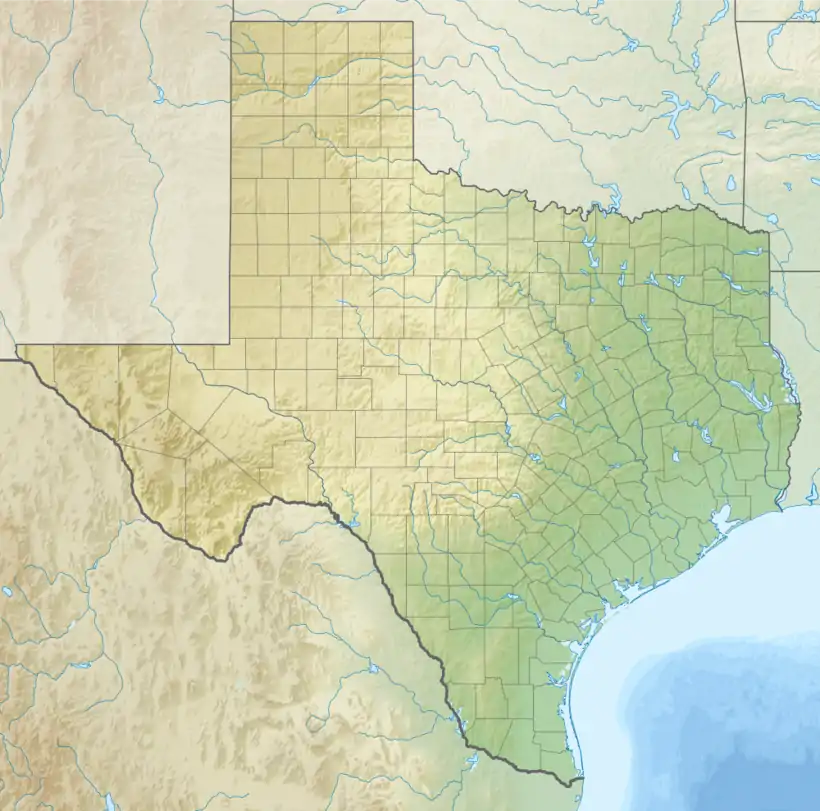 Barnhart Location of Barnhart in Texas and the US  Barnhart Barnhart (the United States) | |
| Coordinates: 31°13′30″N 101°17′07″W | |
| Country | |
| State | |
| County | Irion |
| Elevation | 1,953 ft (595 m) |
| Population (2017) | |
| • Total | 105 |
| Time zone | UTC-6 (Central (CST)) |
| • Summer (DST) | UTC-5 (CDT) |
| ZIP code | 76930 |
| Area code(s) | 325 |
The Irion County Independent School District serves the students living in the area.
Barnhart is suffering a drought exacerbated by the copious consumption of groundwater used in the hydraulic fracking process of petroleum extraction.[3] Numerous oil rigs are located in the area.
According to the Köppen Climate Classification system, Barnhart has a semi-arid climate, abbreviated "BSk" on climate maps.[4]
History
Barnhart was founded by Willam A. Barnhart in 1910, when the Kansas City, Mexico and Orient Railway was constructed throughout West Texas, passing through the area. A post office opened in Barnhart in 1912, and a school operated in the community from 1912 to 1969. The population was estimated to be around 50 in 1915. By 1920 the town had the Barnhart State Bank (which was moved to an adjacent town in 1927) and a newspaper - the Barnhart Range, published by Ed Downing. In the 1920s and 30s, Barnhart became a large-volume shipping point, due to its location between major railroad lines. Barnhart was described as "dusty, bawling cattle, hell-raising cowboys and trains a half-mile long", in the 1920's and 30's. Barnhart had everything the cowboys and railroaders needed: A hotel, cafe, a bank and a theater. Because of the remoteness of West Texas, traditional cattle drives continued to Barnhart, long after the practice was popular. The amount of cattle coming through began to cause problems for the local ranchers. To protect the pastures from over-grazing, ranchers began to put up more fencing. This ended what may have been the beginning of the end to cattle drives in Texas. To get around the issue, the Ozona-Barnhart Trap Company was formed in 1924. A long, narrow path of leased/purchased land stretching 34 miles, from south of Ozona to Barnhart, became Texas’ last major cattle trail. In April of 1934, Barnhart's former postmaster pled guilty in federal court to “conversion of funds.” Barnhart, which is out in the middle of the Texas plains, naturally lacked law enforcement at that time. During the Great Depression, the federal government began buying up the cattle, and having them slaughtered to reduce supply, in hopes of reviving a market that had practically died.[5]
Climate
| Climate data for Barnhart, Texas | |||||||||||||
|---|---|---|---|---|---|---|---|---|---|---|---|---|---|
| Month | Jan | Feb | Mar | Apr | May | Jun | Jul | Aug | Sep | Oct | Nov | Dec | Year |
| Record high °F (°C) | 84 (29) |
93 (34) |
96 (36) |
100 (38) |
111 (44) |
115 (46) |
110 (43) |
109 (43) |
105 (41) |
102 (39) |
89 (32) |
84 (29) |
115 (46) |
| Average high °F (°C) | 57.5 (14.2) |
61.6 (16.4) |
69.9 (21.1) |
79.1 (26.2) |
86.8 (30.4) |
92.5 (33.6) |
94.8 (34.9) |
93.8 (34.3) |
86.7 (30.4) |
77.8 (25.4) |
66.8 (19.3) |
58.7 (14.8) |
77.2 (25.1) |
| Average low °F (°C) | 27.8 (−2.3) |
31.3 (−0.4) |
38.7 (3.7) |
47.7 (8.7) |
57.5 (14.2) |
65.2 (18.4) |
67.4 (19.7) |
66 (19) |
59.4 (15.2) |
48.3 (9.1) |
37.1 (2.8) |
28.9 (−1.7) |
47.9 (8.8) |
| Record low °F (°C) | −9 (−23) |
−9 (−23) |
2 (−17) |
18 (−8) |
33 (1) |
45 (7) |
48 (9) |
49 (9) |
32 (0) |
20 (−7) |
10 (−12) |
−7 (−22) |
−9 (−23) |
| Average precipitation inches (mm) | .6 (15) |
.9 (23) |
.9 (23) |
1.3 (33) |
2.4 (61) |
2.2 (56) |
1.8 (46) |
1.9 (48) |
2.6 (66) |
1.9 (48) |
.9 (23) |
.8 (20) |
18 (460) |
| Average precipitation days | 3 | 3 | 3 | 3 | 5 | 4 | 4 | 4 | 5 | 4 | 2 | 2 | 42 |
| Source: Weatherbase[6] | |||||||||||||
References
- "Barnhart". Geographic Names Information System. United States Geological Survey.
- http://www.texasescapes.com/TexasTowns/Barnhart-Texas.htm
- Goldenberg, Suzanne (11 August 2013). "A Texan tragedy: ample oil, no water". Guardian. Retrieved 13 August 2013.
- Climate Summary for Barnhart, Texas
- http://www.texasescapes.com/TexasTowns/Barnhart-Texas.htm
- "Barnhart, Texas: Monthly Weather Averages Summary". weatherbase.com. Retrieved 2020-12-13.
Municipalities and communities of Irion County, Texas, United States | ||
|---|---|---|
| City |  Irion County map | |
| Unincorporated communities | ||
| ||
