Beadnos Nunatak
Beadnos Nunatak (Bulgarian: нунатак Беаднос, ‘Nunatak Beadnos’ \'nu-na-tak be-'ad-nos\) is the partly ice-free hill of elevation 2180 m projecting from the ice cap west of north-central Sentinel Range in Ellsworth Mountains, Antarctica. It is named after the medieval fortress of Beadnos in Southern Bulgaria.
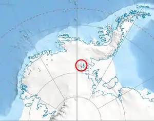
Location of Sentinel Range in Western Antarctica.
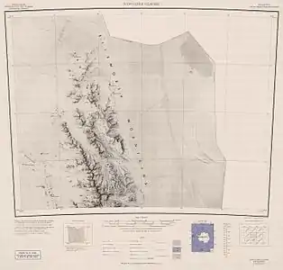
Map of northern Sentinel Range.
Location
Beadnos Nunatak is located at 77°57′59″S 87°13′02″W, which is 6.64 km southeast of Helfert Nunatak, 20.78 km west-southwest of Mursalitsa Peak, 29 km west of Mount Dalrymple and 9 km northwest of Kovil Nunatak. US mapping in 1961.
Maps
- Newcomer Glacier. Scale 1:250 000 topographic map. Reston, Virginia: US Geological Survey, 1961.
- Antarctic Digital Database (ADD). Scale 1:250000 topographic map of Antarctica. Scientific Committee on Antarctic Research (SCAR). Since 1993, regularly updated.
References
- Beadnos Nunatak. SCAR Composite Gazetteer of Antarctica.
- Bulgarian Antarctic Gazetteer. Antarctic Place-names Commission. (details in Bulgarian, basic data in English)
External links
- Beadnos Nunatak. Copernix satellite image
This article includes information from the Antarctic Place-names Commission of Bulgaria which is used with permission.
This article is issued from Wikipedia. The text is licensed under Creative Commons - Attribution - Sharealike. Additional terms may apply for the media files.