Beetown, Wisconsin
Beetown is a town in Grant County, Wisconsin, United States. The population was 734 at the 2000 census. The unincorporated communities of Beetown, Diamond Grove, Five Points, Flora Fountain, Hurricane, and North Andover are located in the town. The former community of Pleasant Ridge was also located in the town.
Beetown, Wisconsin | |
|---|---|
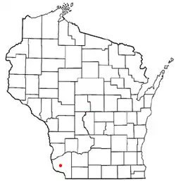 Location of Beetown, Wisconsin | |
| Coordinates: 42°48′27″N 90°51′58″W | |
| Country | |
| State | |
| County | Grant |
| Area | |
| • Total | 48.4 sq mi (125.4 km2) |
| • Land | 48.4 sq mi (125.4 km2) |
| • Water | 0.0 sq mi (0.0 km2) |
| Elevation | 899 ft (274 m) |
| Population (2000) | |
| • Total | 734 |
| • Density | 15.2/sq mi (5.9/km2) |
| Time zone | UTC-6 (Central (CST)) |
| • Summer (DST) | UTC-5 (CDT) |
| Area code(s) | 608 |
| FIPS code | 55-06100[2] |
| GNIS feature ID | 1582780[1] |
History
Local settler Cyrus Alexander discovered a 425 pounds (193 kg) block of lead under a bee tree, naming it bee lead, which eventually spawned the name of the town.[3]
Geography
According to the United States Census Bureau, the town has a total area of 48.4 square miles (125.4 km2), all of it land.
Demographics
At the 2000 census there were 734 people, 261 households, and 209 families in the town. The population density was 15.2 people per square mile (5.9/km2). There were 273 housing units at an average density of 5.6 per square mile (2.2/km2). The racial makeup of the town was 99.86% White, and 0.14% from two or more races. Hispanic or Latino of any race were 0.14%.[2]
Of the 261 households 36.8% had children under the age of 18 living with them, 69.7% were married couples living together, 5.7% had a female householder with no husband present, and 19.9% were non-families. 16.5% of households were one person and 6.5% were one person aged 65 or older. The average household size was 2.81 and the average family size was 3.14.
The age distribution was 28.7% under the age of 18, 6.0% from 18 to 24, 26.7% from 25 to 44, 25.6% from 45 to 64, and 12.9% 65 or older. The median age was 38 years. For every 100 females, there were 106.2 males. For every 100 females age 18 and over, there were 106.7 males.
The median household income was $34,750 and the median family income was $36,250. Males had a median income of $26,310 versus $18,571 for females. The per capita income for the town was $14,412. About 10.4% of families and 14.5% of the population were below the poverty line, including 23.6% of those under age 18 and 8.3% of those age 65 or over.
Notable people
- Lisle Blackbourn, Green Bay Packer coach, was born in Beetown, Wisconsin.
- Pierce Cahill, South Dakota legislator, was born in Beetown, Wisconsin.[4]
- Oscar Clark Hathaway, Wisconsin legislator, was Chairman of the Town Board of Beetown.[5]
- William John McCoy, Wisconsin legislator, was Town Chairman of Beetown
- Reuben B. Showalter, Wisconsin legislator, lived in Beetown.[6]
- Daniel Bartlett Stevens, Wisconsin legislator, was Clerk of Beetown.[7]
- Willard T. Stevens, Wisconsin legislator, was born in Beetown.[8]
References
- "US Board on Geographic Names". United States Geological Survey. 2007-10-25. Retrieved 2008-01-31.
- "U.S. Census website". United States Census Bureau. Retrieved 2008-01-31.
- Gard, Robert (2015). The Romance of Wisconsin Place Names (2nd ed.). Madison, WI: Wisconsin Historical Society Press. p. 25. ISBN 978-0-87020-707-5.
- 'South Dakota Blue Book 1903,' Biographical Sketch of Pierce Cahill, pg. 219
- THE LEGISLATIVE MANUAL OF THE STATE OF WISCONSIN (16th ed.). Madison, Wis. 1877. p. 451.
- THE BLUE BOOK OF THE STATE OF WISCONSIN. 1889. pp. 507–508.
- "Biographical Sketches". Wisconsin Blue Book. 1909. Retrieved 2014-01-23.
- "Biography". History of Lincoln, Oneida, and Vilas Counties Wisconsin. Retrieved 2014-01-26.
Municipalities and communities of Grant County, Wisconsin, United States | ||
|---|---|---|
| Cities | 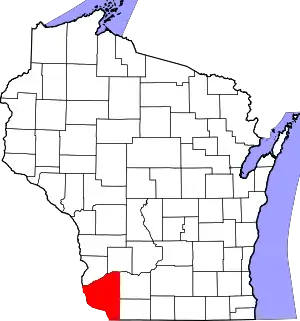 | |
| Villages | ||
| Towns |
| |
| CDPs | ||
| Unincorporated communities |
| |
| Ghost towns/neighborhoods | ||
| Footnotes | ‡This populated place also has portions in an adjacent county or counties | |
| ||
