Beigang River
The Beigang River, formerly known as the Pakan[1] from its Hokkien pronunciation, is a river in Taiwan named for Beigang, a port at its mouth.[2][3] It flows through Yunlin and Chiayi counties for 82 km.[3][4]
| Beigang River | |
|---|---|
 | |
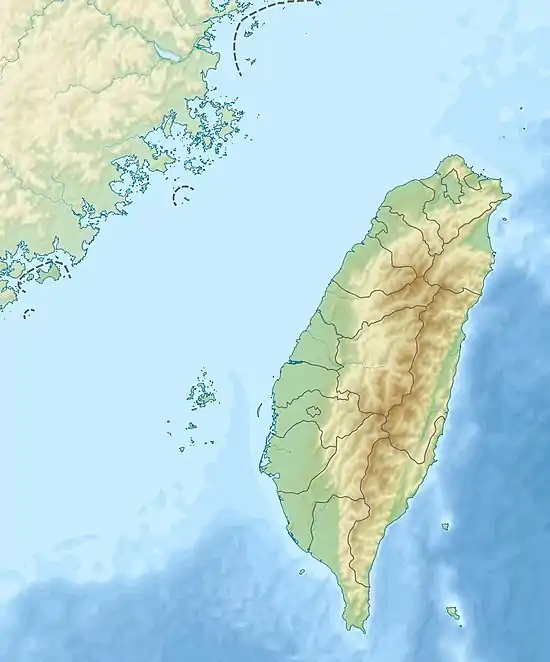 Beigang River in Taiwan | |
| Native name | 北港溪 (Chinese) |
| Location | |
| Country | Taiwan |
| County | Yunlin and Chiayi |
| Physical characteristics | |
| Source | |
| • location | Western slopes of the Alishan Range |
| • elevation | 561 m (1,841 ft) |
| Mouth | |
• location | Pacific Ocean |
• elevation | 0 metres (0 ft) |
| Length | 82 km (51 mi) |
| Basin size | 645.21 km2 (249.12 sq mi) |
| Discharge | |
| • maximum | 5,000 m3/s (180,000 cu ft/s) |
| Basin features | |
| Tributaries | |
| • left | Huwei River * Tahukou River |
| • right | Sandie River |
| Beigang River | |||||||||
|---|---|---|---|---|---|---|---|---|---|
| Chinese | 北港溪 | ||||||||
| Literal meaning | North Port Creek | ||||||||
| |||||||||
At the river mount, lies the Aogu Wetland at Dongshi Township of Chiayi County.
Beigang River is moderately polluted.[5]
Bridges
See also
References
Citations
- EB (1879), p. 416.
- "GeoNames Search". Geographic Names Database. National Geospatial-Intelligence Agency, USA. Retrieved 2 June 2016.
- "Geography & demographics". The Republic of China Yearbook 2015. Executive Yuan. 2015. pp. 40–53. ISBN 978-986-04-6013-1.
- "Beigang River" (in Chinese). Water Resources Agency, Ministry of Economic Affairs. Archived from the original on 2016-03-09. Retrieved 9 September 2016.
- 民國104年 環境水質監測年報 [Annual Report of Water Quality 2015] (in Chinese). Taipei City, Taiwan (R.O.C.): Environmental Protection Administration. March 2016. Retrieved 9 September 2016. (Figure 1-8)
Bibliography
- , Encyclopaedia Britannica, 9th ed., Vol. IX, New York: Charles Scribner's Sons, 1879, pp. 415–17.
| Wikimedia Commons has media related to Beigang River. |
This article is issued from Wikipedia. The text is licensed under Creative Commons - Attribution - Sharealike. Additional terms may apply for the media files.