Beringia National Park
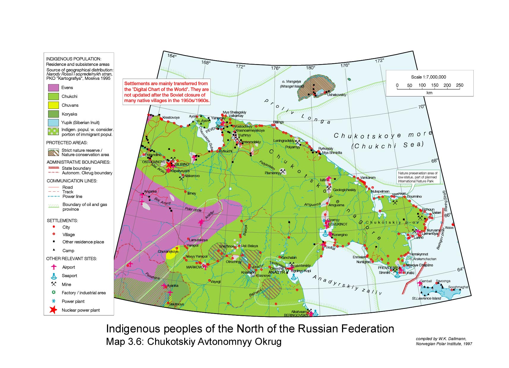
Beringia National Park (Russian: Берингия) is on the eastern tip of Chukotka Autonomous Okrug ("Chukotka"), the most northeastern region of Russia. It is on the western (i.e., Asian) side of the Bering Strait.
| Beringia National Park | |
|---|---|
IUCN category II (national park) | |
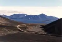 Road to Novoye Chaplino NPS | |
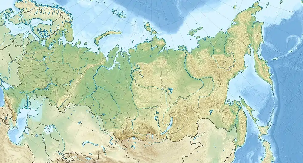 Location of Park | |
| Location | Chukotka Autonomous Okrug |
| Nearest city | Anadyr |
| Coordinates | 64°22′N 173°18′E |
| Area | 30,532 square kilometres (11,788 sq mi) |
| Established | 2013 |
| Governing body | Ministry of Natural Resources and Environment (Russia) |
Overview
Until 11,000 BCE, the territory of the park was connected by a land bridge – known as "Beringia" – to North America. On the eastern side, in Alaska, is the Bering Land Bridge National Preserve, operated by the US National Park Service. There have been talks between the US and Russia about joining the two parks into a cross-border "international park", but as yet nothing has been formalized.[1] Most of the sparse population in the area are the indigenous Chukchi people or Yupik peoples.[2] The park was formalized as a National Park in 2013.
The park is spread over two districts on the Chukchi Peninsula: Providensky District to the south, and Chukotsky District to the north. The topography is maritime highland subarctic tundra. The mountains are medium height – averaging 900 meters, with the highest being Mt. Iskhodnaya at 1194 meters. There are also extensive tundra plains.[1]
Ecoregion and climate
Beringia is in the Bering tundra ecoregion. The region experiences a Subarctic climate, without dry season (Köppen climate classification Subartic climate (Dfc)). This climate is characterized by mild summers (only 1–3 months above 10 °C (50.0 °F)) and cold, snowy winters (coldest month below −3 °C (26.6 °F)).[3][4] January is the coldest month with an average temperature in Anadyr (town) of −22.6 °C (−8.7 °F), and an average temperature of +11.6 °C (52.9 °F) in July.[5]

See also
References
- "Official Park Site, Beringia National Park (in Russian)". Ministry of Natural Resources and Environment of the Russian Federation. Retrieved 2015-11-01.
- "Map of Indigenous Peoples of the North of the Russian Federation". Norwegian Polar Institute. Retrieved December 29, 2015.
- Kottek, M., J. Grieser, C. Beck, B. Rudolf, and F. Rubel, 2006. "World Map of Koppen-Geiger Climate Classification Updated" (PDF). Gebrüder Borntraeger 2006. Retrieved September 14, 2019.CS1 maint: multiple names: authors list (link)
- "Dataset - Koppen climate classifications". World Bank. Retrieved September 14, 2019.
- "Anadyr Climate Normals 1961–1990". National Oceanic and Atmospheric Administration. Retrieved 13 May 2015.
External links
- Map of Indigenous Peoples of the North of the Russian Federation
- Shared Beringian Heritage Program (US National Park Service)
| Wikimedia Commons has media related to Beringia National Park. |