Berthier-sur-Mer, Quebec
Berthier-sur-Mer is a town in the Montmagny Regional County Municipality within the Chaudière-Appalaches region of Quebec, Canada. It is located on the south shore of the Saint Lawrence River, east of Quebec City on Route 132.
Berthier-sur-Mer | |
|---|---|
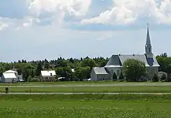 Church of Berthier-sur-Mer | |
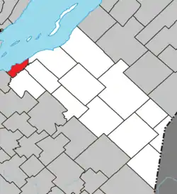 Location within Montmagny RCM. | |
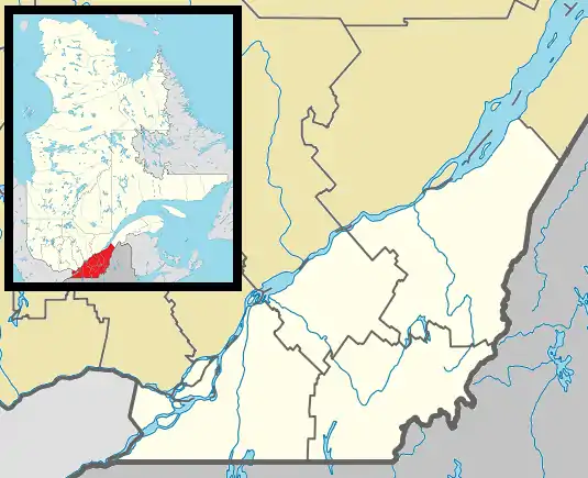 Berthier-sur-Mer Location in province of Quebec. | |
| Coordinates: 46°55′N 70°44′W[1] | |
| Country | |
| Province | |
| Region | Chaudière-Appalaches |
| RCM | Montmagny |
| Constituted | July 1, 1855 |
| Government | |
| • Mayor | Richard Gallibois |
| • Federal riding | Montmagny—L'Islet— Kamouraska—Rivière- du-Loup |
| • Prov. riding | Côte-du-Sud |
| Area | |
| • Total | 26.80 km2 (10.35 sq mi) |
| • Land | 26.79 km2 (10.34 sq mi) |
| Population | |
| • Total | 1,398 |
| • Density | 52.2/km2 (135/sq mi) |
| • Pop 2006-2011 | |
| • Dwellings | 791 |
| Time zone | UTC−5 (EST) |
| • Summer (DST) | UTC−4 (EDT) |
| Postal code(s) | G0R 1E0 |
| Area code(s) | 418 and 581 |
| Highways | |
| Website | www |
History
Berthier-sur-Mer was named after Alexandre Berthier, a captain in the Carignan-Salières Regiment, who was given title to this area in 1672, then known as the seigneury of Berthier-en-bas.
During the 19th century, Irish immigrants were quarantined at nearby Grosse Isle, now a National Historic site.
Geology
A strip of rather interesting underlying sedimentary bedrock maintains a relatively straight shoreline through which a natural harbour, quite round in shape, has been eroded. The bedrock is set at about a 60 to 80° angle and is composed of hundreds of very thin layers of red shale interspersed every meter or so with 5 to 10 cm layers of what appears to be limestone. It is quite dramatic in places where it hasn't been worn down by human activities.
See also
References
Adjacent Municipal Subdivisions | |
|---|---|
| Cities & Towns | |
|---|---|
| Municipalities | |
| Parishes | |
| |
| Authority control |
|
|---|