Bijawar-Panna Plateau
The Bijawar-Panna Plateau covers portions of Chhatarpur and Panna districts in the Indian state of Madhya Pradesh.
| Bijawar-Panna Plateau | |
|---|---|
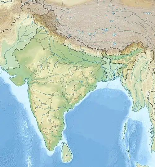 Bijawar-Panna Plateau Madhya Pradesh, India | |
| Highest point | |
| Coordinates | 25°50′N 80°0′E |
| Geography | |
| Location | Madhya Pradesh, India |
Geography
Behind the Bijawar Hills in Sagar Division is the 25-30 km wide Bijawar-Panna Plateau. The Bijawar-Panna Plateau rises from the north to south in three well marked escarpments roughly followed by 300, 375 and 450 m contours, towards the longitudinal valleys of the rivers Mirhasan and Sonar. To the north-east of Panna there are two main branches – the southern is called Panna hills and the northern one Vindhyachal Range. The Panna Range merely forms a table land 15 km broad. Its general slope is from south-west to north-east.[1]
It is part of the Bundelkhand Plateau.[2]
A series of plateaux runs along the Kaimur Range. These fluvial plateaux, consists of a series of descending plateaux, starting with the Panna Plateau in the west, followed by Bhander Plateau and Rewa Plateau and ending with Rohtas Plateau in the east.[3]
Crossing the Bijawar-Panna hills, the Ken River cuts a 60 km long, and 150-180 m deep gorge. Several streams join the Ken in this gorge making waterfalls.[4]
References
- Bhargava, Archana (1991). Resources and planning for economic development. ISBN 9788185119717. Retrieved 11 July 2010.
- Srivastava, Sangya (December 2005). Studies in Demography. p521. ISBN 9788126119929. Retrieved 11 July 2010.
- K. Bharatdwaj (2006). Physical Geography: Introduction To Earth. p. 158. ISBN 9788183561631. Retrieved 28 June 2010.
- Sharma, shri Kamal (2000). Spatial framework and economic development. p. 22. ISBN 9788172111113. Retrieved 11 July 2010.