Black Kei River
The Black Kei River, originates southwest of Queenstown, and eventually joins the White Kei River, to become the Great Kei River. Several villages are situated on its banks, including McBride Village, Qabi, Ntabelanga, Thornhill, Loudon, Mitford, Basoto, Baccle's Farm and Tentergate.[1]
| Black Kei River Swart-Keirivier | |
|---|---|
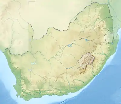 Location of the Black Kei River mouth | |
| Etymology | From kei, the word for "water" in the Khoekhoe language |
| Location | |
| Country | South Africa |
| Province | Eastern Cape Province |
| Physical characteristics | |
| Source | Stormberg |
| • location | Eastern Cape, South Africa |
| • elevation | 1,500 m (4,900 ft) |
| Source confluence | Swart-Kei / Wit-Kei |
| Mouth | Confluence with White Kei River |
• coordinates | 32°13′34″S 27°30′36″E |
• elevation | 540 m (1,770 ft) |
| Basin features | |
| Tributaries | |
| • left | Klaas Smits River |
| • right | Klipplaat River |
The Thrift Dam is its only significant reservoir. Presently this river is part of the Mzimvubu to Keiskamma Water Management Area.[2]
Its upper reaches form the western boundary of the Tsolwana Nature Reserve, and during the mid-1800s, the Black Kei and its Klipplaat tributary formed the northern boundary of British Kaffraria. The Klaas Smits and Klipplaat rivers are its main tributaries.[3]
References
- "South Africa (Republic) - Animals & Animal Welfare". doi:10.1163/2213-2996_flg_com_172012. Cite journal requires
|journal=(help) - Is there a role for traditional governance systems in South Africa's new water management regime?
- Mizimbuvu to Keiskamma WMA 12
External links
This article is issued from Wikipedia. The text is licensed under Creative Commons - Attribution - Sharealike. Additional terms may apply for the media files.